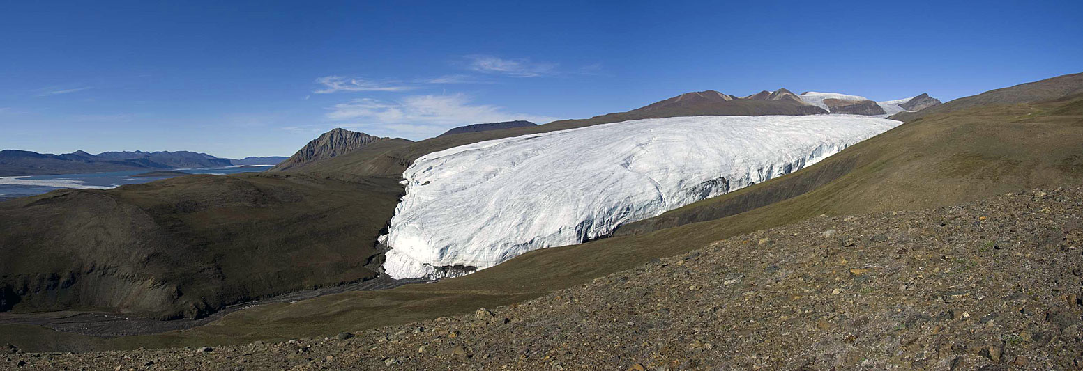
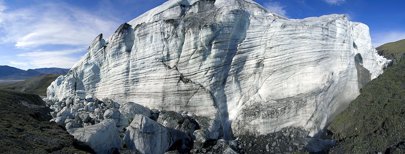
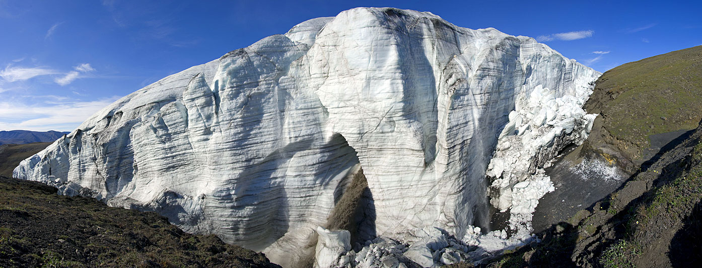
 Snout of Crusoe Glacier from the southeast (July 6th, 2008). Note that the meltwater stream on the lower left has carried ice blocks from the glacier and deposited them at various places along its banks. Expedition Fjord and prominent Colour Peak are visible on the upper left. |  Close to Crusoe Glacier's eastern margin (July 14th, 2008). The camera position is somewhat donglacier from the massive waterfall (far right) where an intraglacial meltwater stream emerges from the ice. Debris from a recent cliff collapse is on the left. |  Panorama taken from a point very close to where the intraglacial meltwater stream emerges from the ice. The waterfall is around 12 metres, the entire ice cliff in the order of 25 metres high (July 14th, 2008). |
 Near the outflow channel from Crusoe-Baby Lake. Note the folding of ice structures on the left. Above right from Crusoe-Baby Lake, Trent and Baby Glaciers are partially visible. Note that vegetation in the foreground is covered by some fine sediment, indicating a temporary rise of the lake level due to blocking of the lake outflow (July 10th, 2008). |  Tongue of Crusoe Glacier from the west side, Trent and Baby Glaciers are visible just below the cloud deck in the centre of the panorama (July 18th, 2008). Note that the true right lateral moraine of Crusoe Glacier ends, or has ben overridden by the ice, on the ower right. Basecamp can be glimpsed above the glacier terminus. |  Recent cliff collapse very close to the glacier front. Due to cold weather sinec the fall, the ice blocks have hardly melted little and retain very angular shapes (July 18th, 2008). |
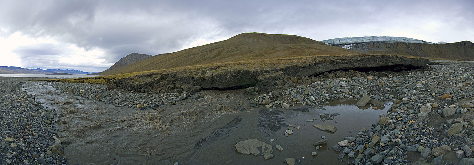
 Below Crusoe Glacier's western terminus (July 18th, 2008). Crossing the meltwater streams in order to reach this location was only possible during cold weather. Bedrock on the left has been exposed when runoff was much bigger, most probably during small outburst floods after cliff collapses, when temporarily dammed water broke through ice dams. |  Between Crusoe Glacier's tongue (upper right) and the shore of Expedition Fjord (far left), the western meltwater stream heavily erodes its western bank. Here it undercuts the tundra and permafrost ground, exposing some ground ice (July 18th, 2008). |  This panorama was taken somewhat lower down than the previous one. After running in a tunnel the water re-emerges. Older, collapsed banks can be seen on the left (July 18th, 2008). |