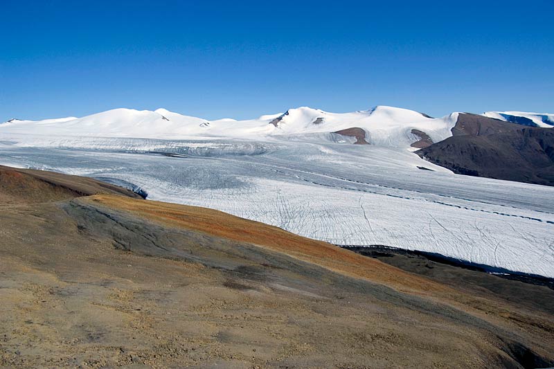
Hidden IcefieldHidden Icefield is a rather large, visually attractive valley glacier with a gentle surface topography. Its name is appropriate as only small parts of it can be seen from the camps near Expedition Fjord. The photos below could be taken during an aerial reconnaisance on July 2nd, 2008. |
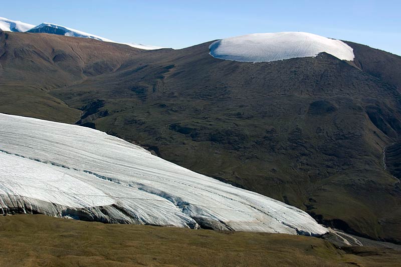
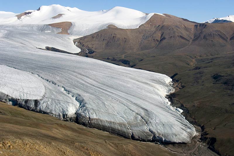
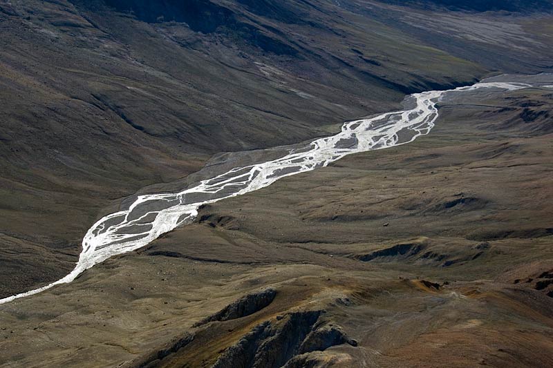
 Highest point of Hidden Icefield is the 1638m high Snow Dome on the far left of this aerial photo. The two prominent meltwater channels visible here both extend almost all the way to the lowest point of the tongue. |  Due to very little unglacierized terrain around its accumulation area, Hidden Icefield has hardly any debris cover. Equally "clean", i.e. debris free, is the small summit ice cap on the unnamend mountain on the upper right. |  Remarkably the snout position in 2008 was almost exactly the same as in the topographical map 1:50'000 based on aerial photography from 1949. The stable location of the glacier margins has led to the development of deeply eroded meltwater channels along its sides. |  Runoff from Hidden Icefield flows towards Strand Fjord, forming a braided river along the way. |