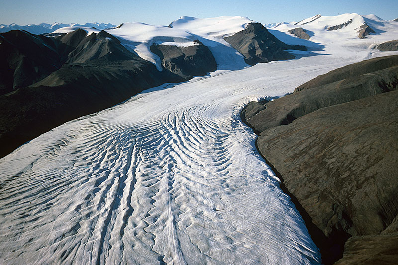
 View towards the accumulation area of Crusoe Glacier (top right). Cairn Mountain (from where the next photo was taken) is the dark pyramid with a small snowpatch, on the upper left; Crusoe Peak (photo position for next but one picture) is the prominent dark pyramid right of top centre (aerial photo August 24th 1977). | 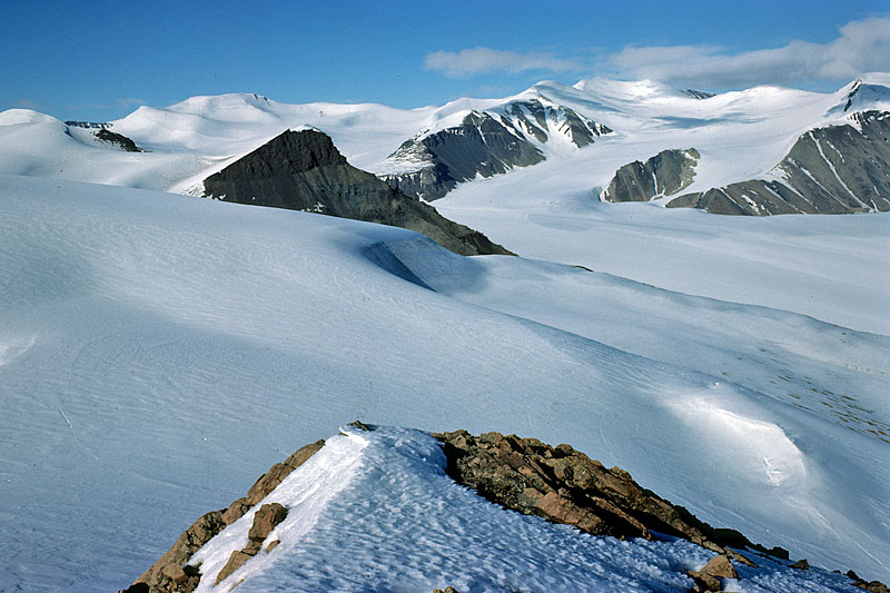 View from Cairn Mountain (1037.1m) towards Crusoe Peak, whose summit is an outcrop of dark volcanic rock. Behind Crusoe Peak is the accumulation area of Crusoe Glacier. The photo was taken on June 5th, 1977, when ablation had hardly begun at this altitude. | 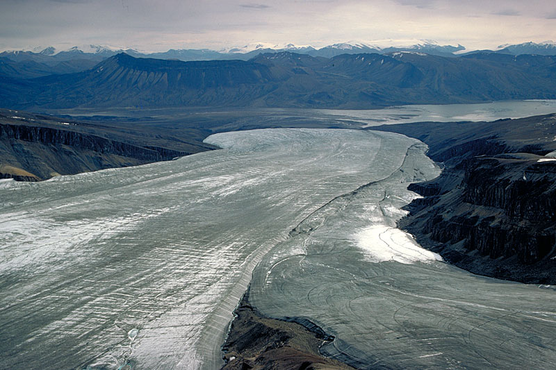 View from Crusoe Peak (1081.7m) over the tongue of Crusoe Glacier towards Expedition Fjord (top right) and Bastion Ridge (top left; July 15th, 1977). This location could be reached via Saddle Glacier from the old Base Camp (MARS), during cold weather when meltwater streams were low and could be safely crossed. | 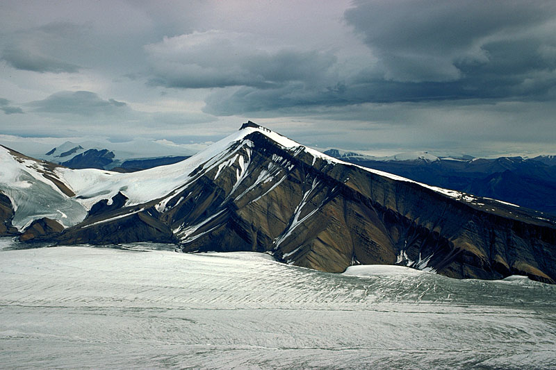 Looking back towards Saddle Glacier (left of centre) and Black Crown Peak across the middle section of Crusoe Glacier. It is covered in a bright layer of superimposed ice which becomes exposed as summer ablation progresses (July 15th, 1977). |
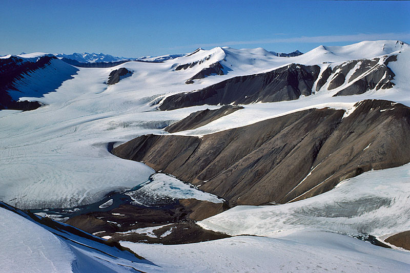 The accumulation area of Crusoe Glacier as seen from Black Crown Peak (1315.9m). In the left foreground is a prominent ice-dammed lake, partially still frozen over due to its high elevation of 623m.a.s.l. In the far left distance are the mountains of the Swiss Range. | 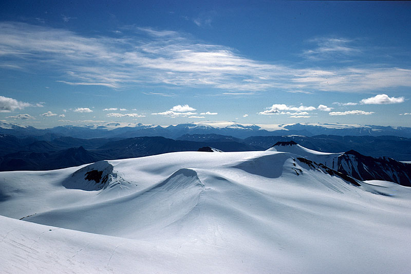 View from White Triplets Range towards the south. On the left is the accumulation area of White, on the right the one of Crusoe Glacier. Black Crown Peak is right of centre and the Steacy Icecap in the far background (1977). | 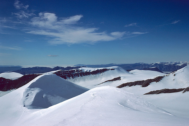 View from White Triplets Range towards the west, across the accumulation area of Crusoe Glacier. In the far left background is Iceberg Bay (1977). | 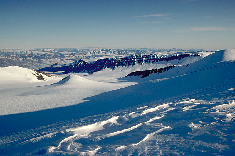 Looking from the far northern end of Crusoe Glacier's accmulation area towards its tongue (1976). |