Crusoe Glacier front and westCrusoe Glacier is a valley glacier located west of the much more intensively studied White Glacier. It is similar in length but considerably wider. With a total surface are of approximately 70 square kilometres it is nearly twice as big as White Glacier. Contrary to White Glacier, which is receding slowly ever since observations begun in 1959, Crusoe Glacier has been steadily advancing. As it was the most accessible glacier from the new basecamp (2008), it is covered extensively here.
|
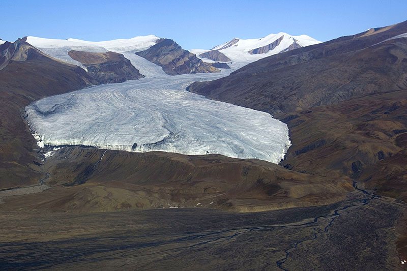 Aerial photo from the south, July 23rd, 2008. The new basecamp is in the lower right corner. On the left the glacier overrides a small ridge, where in 1977 a second glacial stream started to flow (the older, bigger one is on the right). | 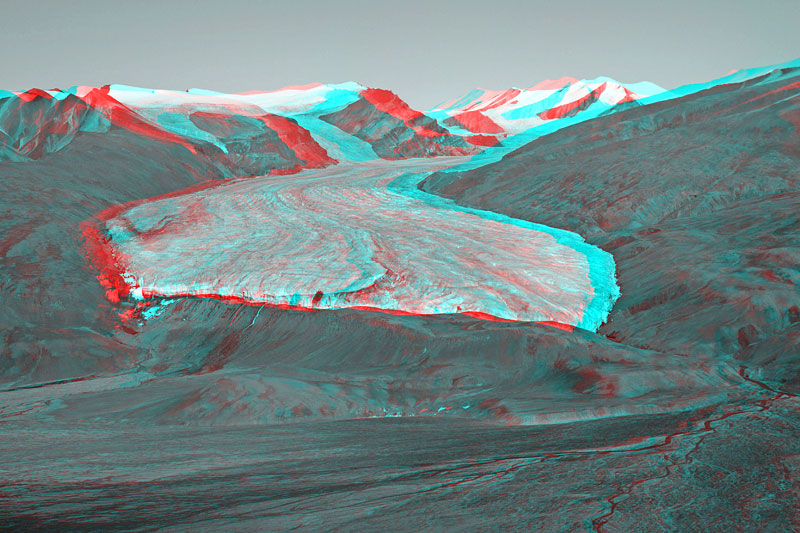 Similar view as the previous image, but as anaglyph. Red-blue glasses are needed to see the stereoscopic effect. | 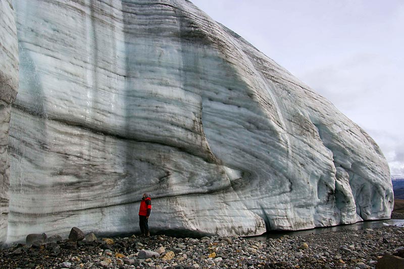 At the front of the advancing cliff of Crusoe Glacier. Internal deformation of the ice leads to spectacular folding. Vertical structures on the left are caused by meltwater falling from the surface (compare next photo). | 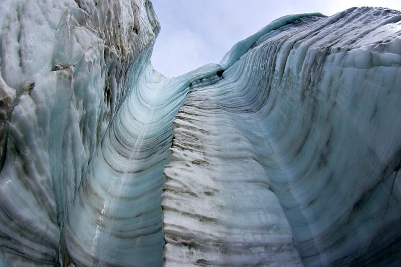 Looking up through vertical channels in the glacier front, eroded by water falling off the glacier surface. The photo was taken on a cold day (July 19th), when runoff was considerably smaller than on most other days in July 2008. |
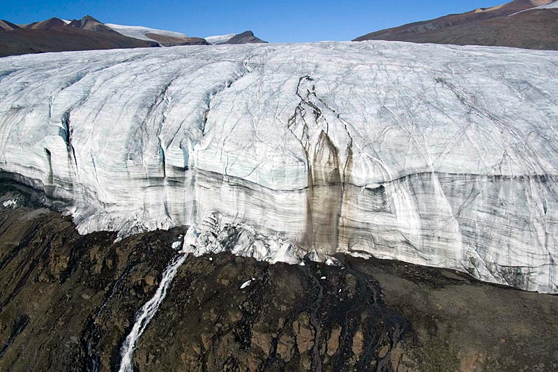 Aerial photo of the western part of Crusoe Glacier's frontal cliff. Whereas all other supraglacial meltwater channels carry mostly clear water, the one in the middle has a lot of brown sediment indicating that it had contact with the glacier bed (July 2nd, 2008). | 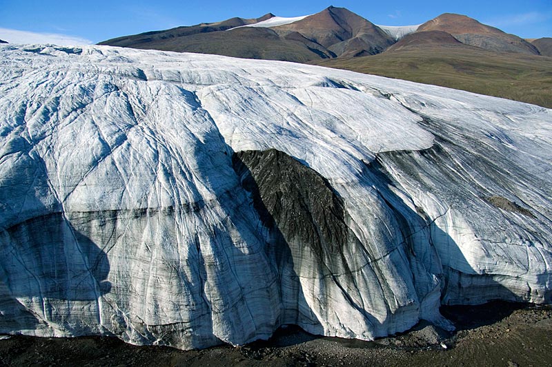 Basal sediment dragged up from the glacier bed emerges along the dark line running from lower left to upper right accross the glacier tongue. In the middle is a concentration of dark debris, probably accumulated by an intra- or supraglacial meltwater stream. | 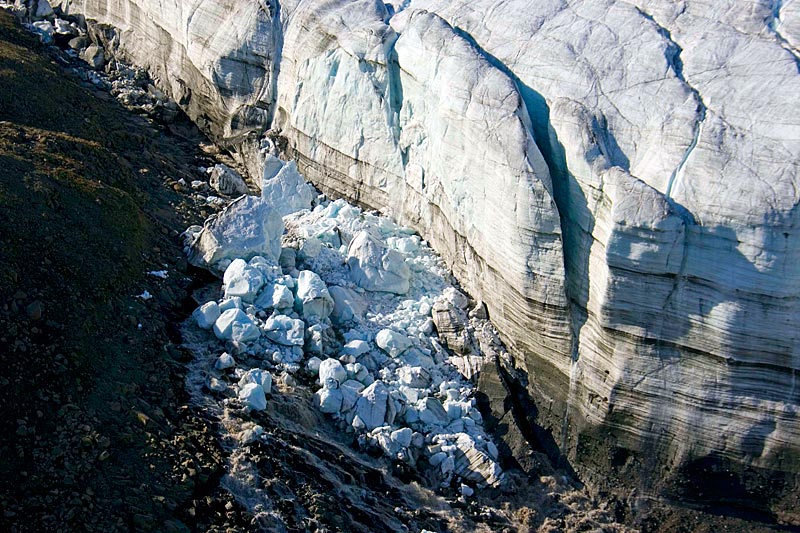 A fresh cliff collapse near the western end of the glacier front deflects the lateral meltwater channel and leads to erosion of tundra on the left of the ice blocks. Another ice slab, still standing upright, is soon ready to fall as well (July 3rd, 2008). | 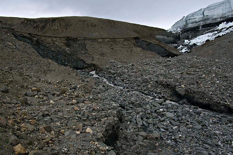 Looking up towards the western end of the frontal cliff. The new meltwater stream, which only started flowing in 1977, has exposed massive deposits of dead ice, previously covered by tundra and soil (steep, dark patches). It must have been left after a previous glacier advance. |
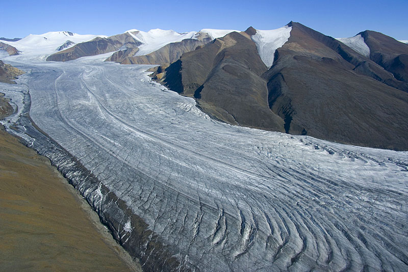 Aerial view of Crusoe Glacier's middle section and Trent and Baby Glaciers on the upper right (July 2nd, 2008). | 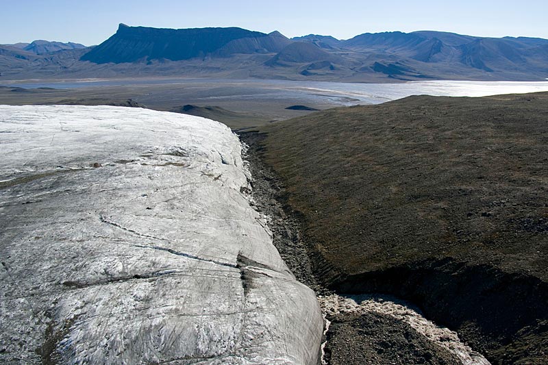 The big lateral meltwater stream disappears under the glacier margin a few hundred metres above the terminus (lower right; July 2nd, 2008; compare also next photo). | 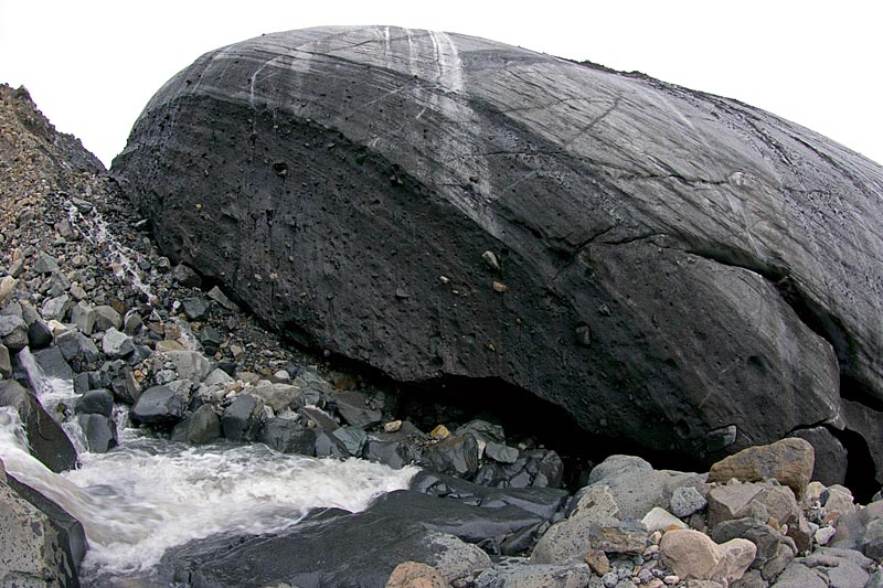 The lateral meltwater stream disappears under the glacier only to re-emerges near the frontal cliff. Not the prominent banding and rocks in the dark basal ice of the glacier (July 18th, 2008). | 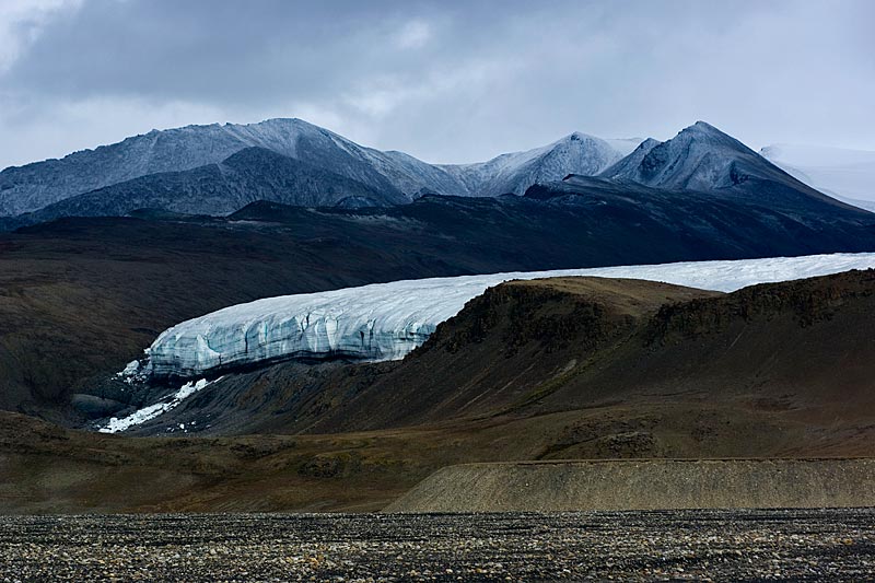 Distant view of Crusoe Glaciers western terminal cliff from basecamp. Ice debris from a recent cliff collapse is on the lower left. |