Baby GlacierBaby Glacier is a niche glacier covering in the order of half a square kilometre km2 at 79°26'N and 90°58'W. It is in the same drainage basin as Crusoe Glacier, southwest facing and located between two prominent mountain peaks, Wolf Mountain and Black Crown Peak (1315.9m). The mass balance of Baby Glacier has been recorded from 1960 to the present with a 12-year gap (1978-1989). J. Alean conducted detailed mass balance measurements in 1976 and 1977, and revisited the glacier, together with M. Ecclestone, in 2008. On average, Baby Glacier's mass balance is strongly negative, causing massive recession of this small glacier. |
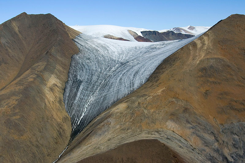 Aerial view of Baby Glacier from SW, July 2nd, 2008 (Four Sisters Dome in the background). After an exceptionally dry winter, and a very warm June, already all winter snow has melted. Only little superimposed ice remains on the col, and old ice is exposed everywhere else. | 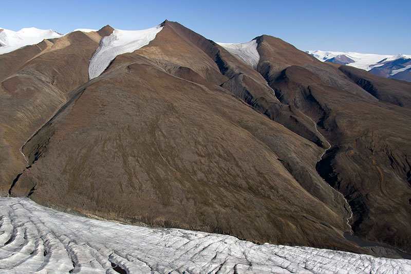 Distant aerial view from WSW, July 2nd, 2008, of Baby Glacier (upper right of image centre) and Trent Glacier (upper left of image centre). Meltwater from both glaciers descends towards the margin of Crusoe Glacier (bottom). | 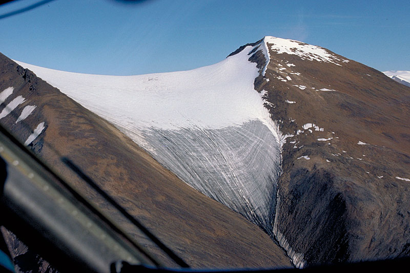 Aerial view of Baby Glacier, August 8th, 1977. Although the melt season has almost ended, some snow remains on the upper part of the glacier. 1977 was a warm summer, and mass balance was strongly negative - however not as extreme as in 2008. | 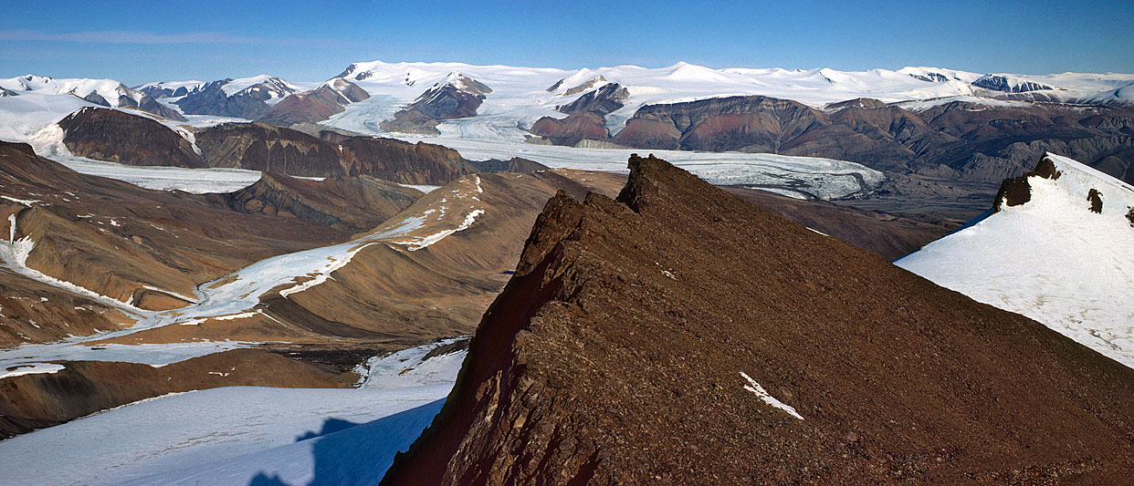 Panorama photo (very wide, may require scrolling to the right) taken from Black Crown Peak in July 1977; Thompson Glacier is in the middle background, Baby Glacier on the far right. |
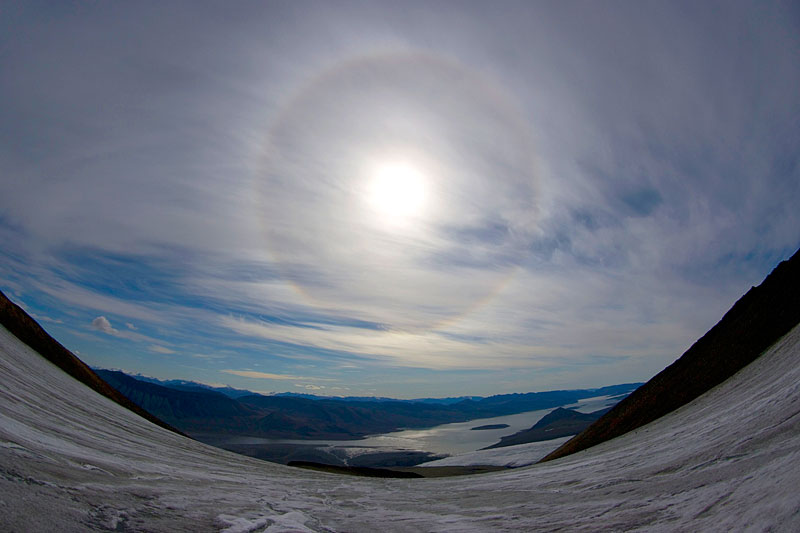 On Baby Glacier in July 2008: a halo is formed by cirrus clouds. The snout of Crusoe Glacier and Expedition Fjord are visible below the halo (fisheye lens). | 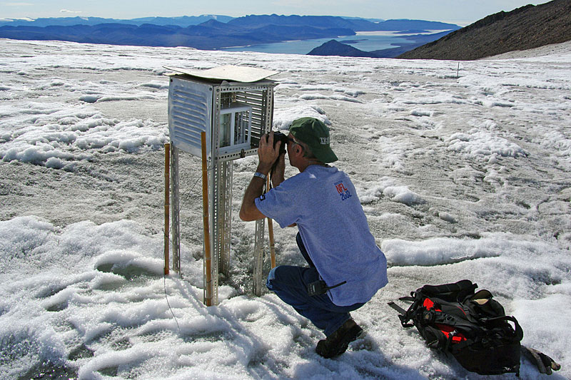 In 2007 a weather screen melted out on the col of Baby Glacier; it is here seen on July 7th, 2008 (Miles Ecclestone taking a photo of the thermohygrograph, cf. next photo). | 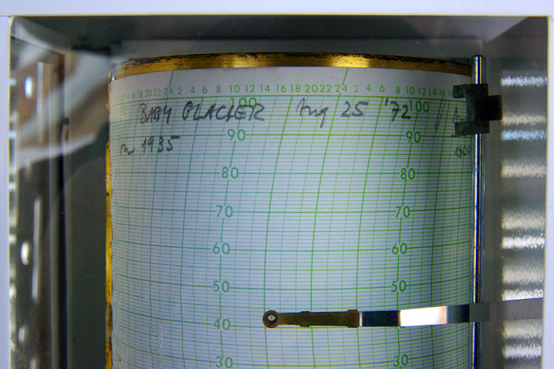 The entry on the thermohygrograph is from 1972, proving that this location has had zero cumulative net accumulation over the 36 years prior to 2008 despite a favorable location on Baby Glacier (uppermost part, flat terrain favouring formation of superimposed ice)! | 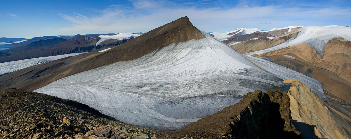 The location of the weather screen is exactly at the centre of this panorama photo (very wide, may require scrolling to the right) taken from Wolf Mountain on July 7, 2008. Note the small ice-dammed lake on top of the light yellowish rocks in front of Crown Glacier. |
 The same ice-dammed lake as seen in the previous panorama photo, in front of Crown Glacier. This glacier is on the col between Wolf Mountain and Black Crown Peak and in contact with Baby Glacier. Four Sisters Dome with summit icecap in the background. | 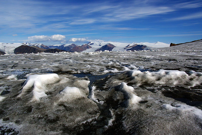 Only a small amount of superimposed ice, forming white mounds, is left on Baby Glacier's col; Phantom Peak, Astro and Piper Glaciers in the distance. | 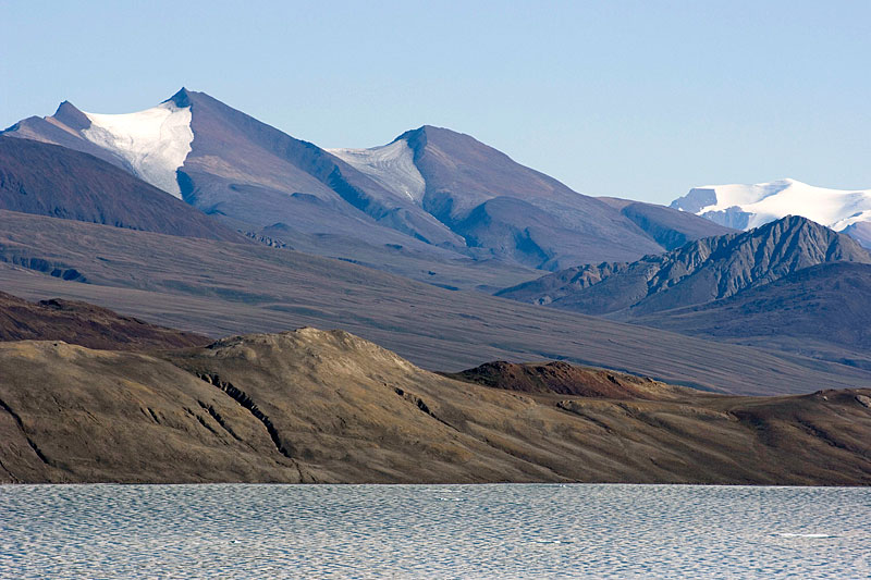 A distant view of Baby Glacier (above centre; July 4th, 2008) from Index Diapir Island shows how dark the entire glacier surface has become by early July 2008. Probably the whole glacier will be ablation area by the end of this extraordinarily warm summer. | 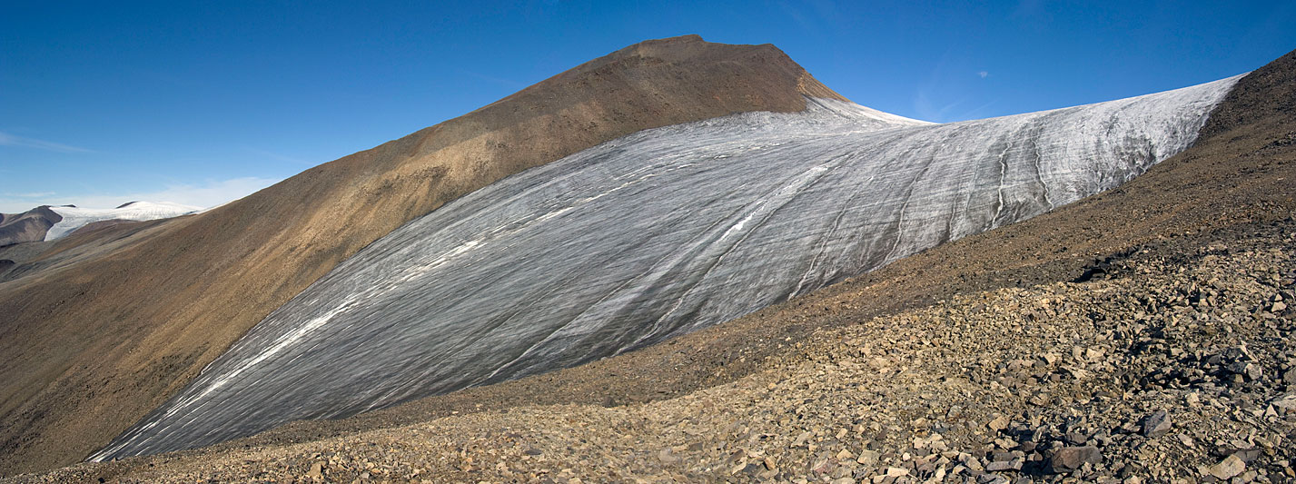 Panorama photo of Baby Glacier from the south, July 7th, 2008. Strong ablation has caused many deep meltwater channels. Despite its small size, Baby Glacier produced enough runoff to make crossing its meltwater stream on foot difficult in the afternoons. |