Crusoe Glacier repeat photos 1977-2008-2022From 1960 to 2008 Crusoe Glacier slowly, but steadily advanced. By about 1977, the south-western part of the tongue had reached a small col, leading to the formation of a new meltwater stream that flowed towards Expedition Fiord, accompanied by calving over a rock cliff. Around 2008 the terminus became stationary and subsequently began to recede. In July 2022 Crusoe Glacier was visited on several occasions. One photo from 1977 and several from 2008 were repeated. Since the older imagery was taken from unmarked locations, prints were used in the field in order to repeat the photos as accurately as possible. Small cairns were built in order to facilitate future repeat photography. |
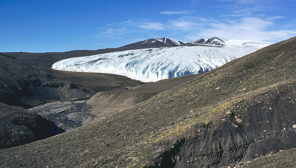 1977: Terminus of Crusoe Glacier from about 700 metres to the SE. In the left foreground is the main meltwater stream from the glacier. | 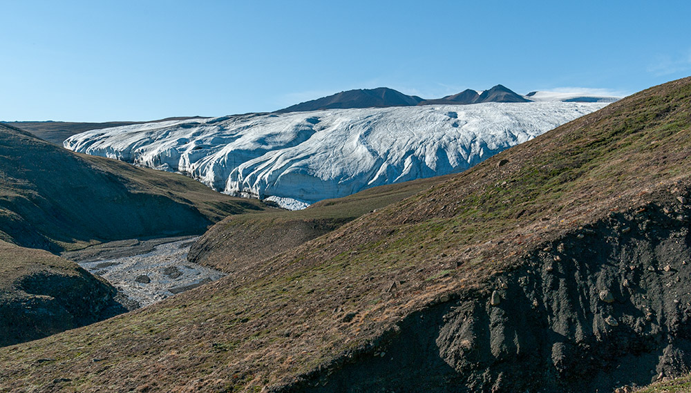 2008: Advance of the terminal ice cliff as well as increased thickness of the glacier are evident. Small boulders in the slope beyond the ravine in the foreground have changed their position very little. Note, for example, the pointed boulder in the centre foreground. | 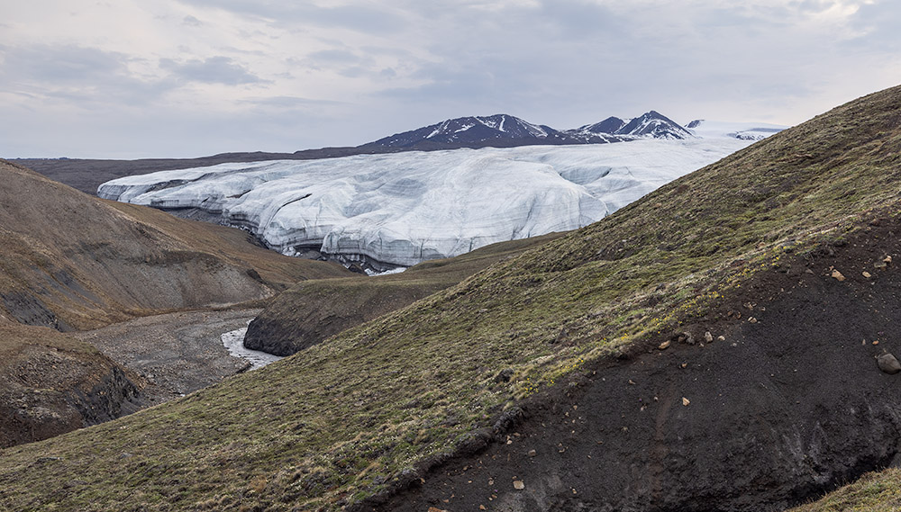 2022: The pointed boulder indicates that there is a lateral error of a few metres in the camera positions. However, this is irrelevant when comparing the glacier outline which is more than 700 metres distant. Slight recession of the cliff and pronounced thinning of the glacier tongue since 2008 is evident. | 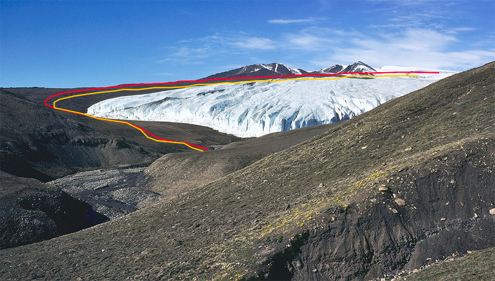 1977 photo with outlines from 2008 in red and from 2022 in orange overlayed. |
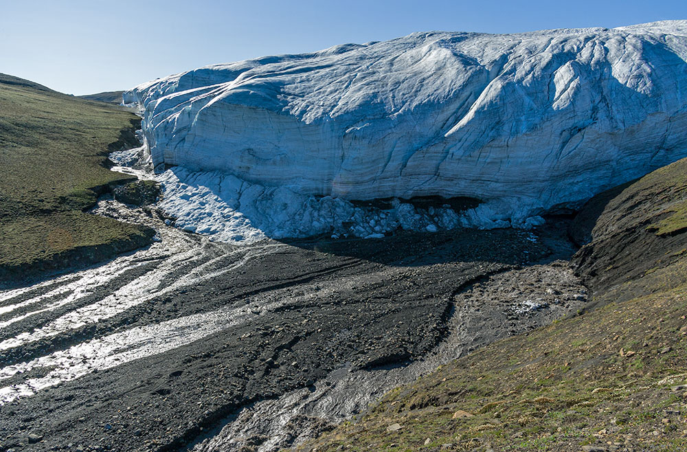 2008: Terminus of Crusoe Glacier. Discharge of the meltwater stream on the right (true left) is particularly strong due to draining of ice-dammed Baby Lake. | 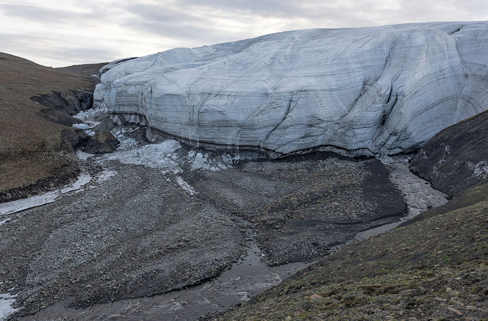 2022: From this position, recession and thinning of Crusoe Glacier is not very evident. In the col on the upper left, the summit of Colour Peak is just visible. It was useful in establishing the repeat photo location. | 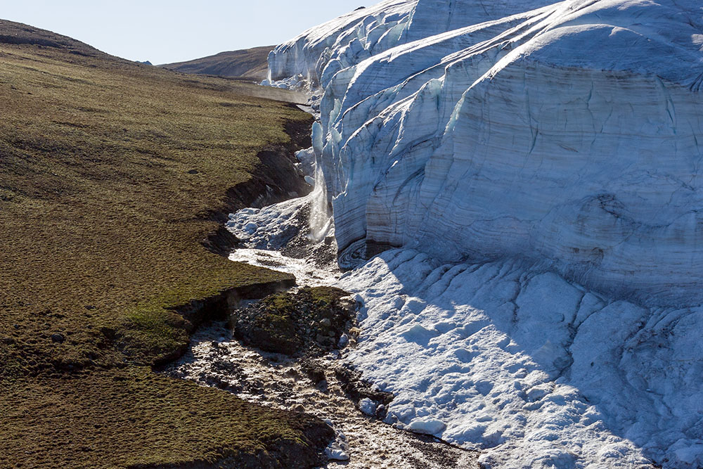 2008: Detail from the previous photos, identical camera location. | 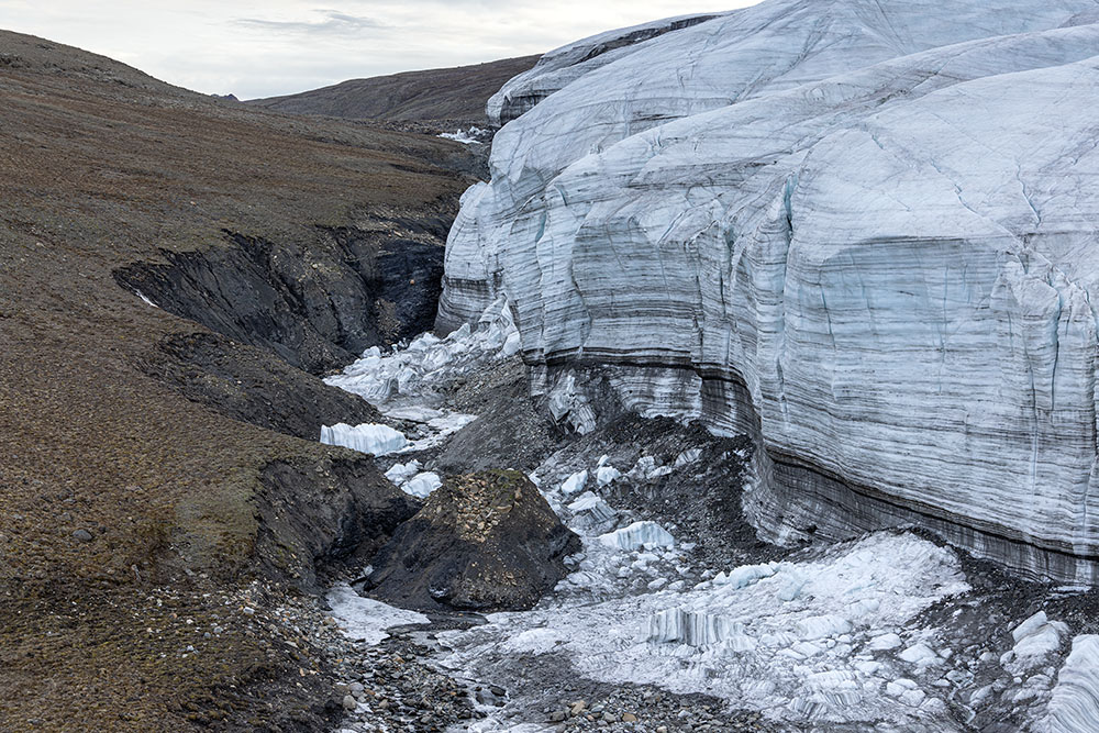 2022: Note continued erosion of the proglacial meltwater channel. |
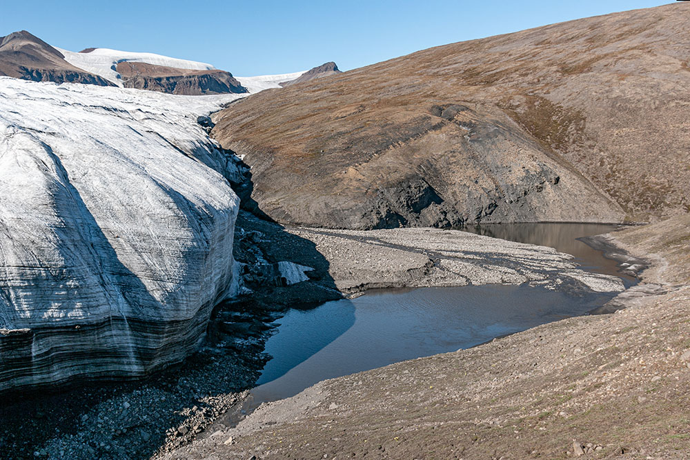 2008: True left glacier margin and Baby Lake. | 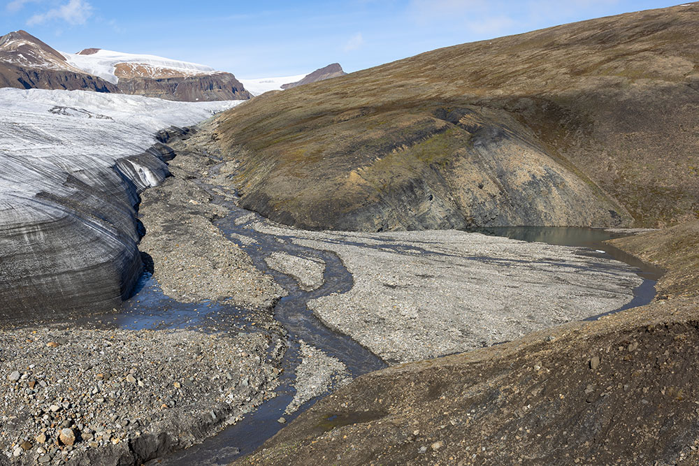 2022: The glacier margin has receded and become considerably thinner and much less steep. The delta has nearly filled Baby Lake. The camera position is on the edge of a new slope collapse. | 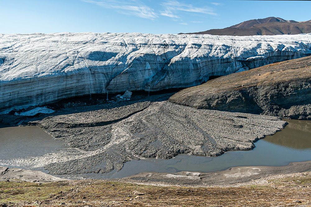 2008: Baby Lake and delta produced by the true left lateral meltwater stream from Crusoe Glacier. Remnants of minor collapse events are visible at the base of the ice cliff. | 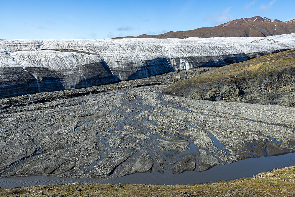 2022: Baby Lake is now almost entirely filled by the growing delta. The glacier margin has become much flatter. |
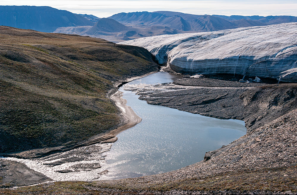 2008: Baby Lake and true left margin of Crusoe Glacier seen from the north. The smaller delta on the lower left is the result of sediment delivery via the meltwater stream originating at Baby Glacier. | 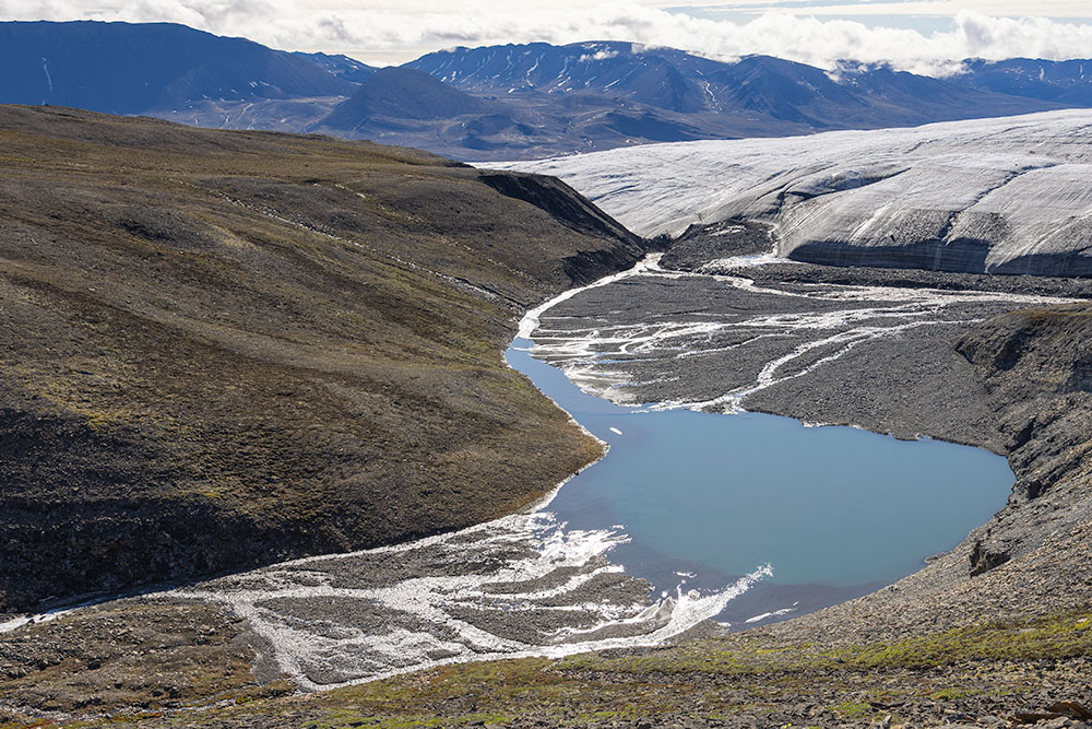 2022: Both deltas have grown considerably. Note considerably thinning of Crusoe Glacier. There is a lateral error of several tens of metres between the two photos. | 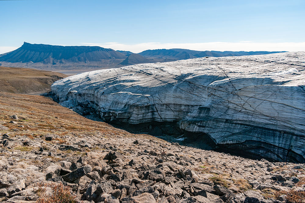 2008: True left margin of Crusoe Glacier upglacier from Baby Lake. | 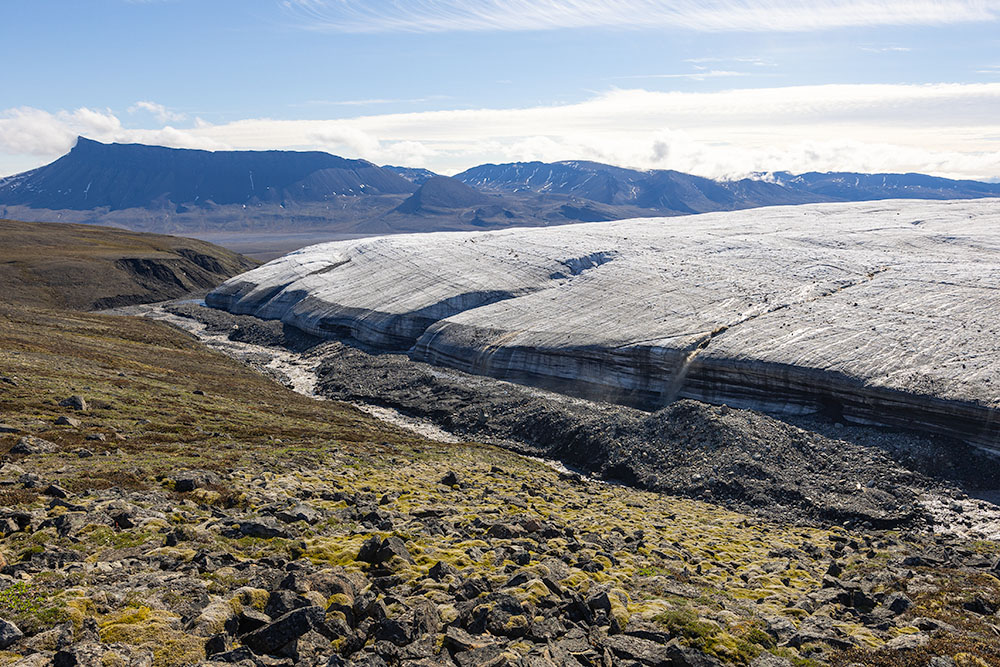 2022: Thanks to a few prominent angular boulders in the foreground, the 2008 photo position could be re-established fairly accurately. A lateral moraine has been left by the receding glacier. |
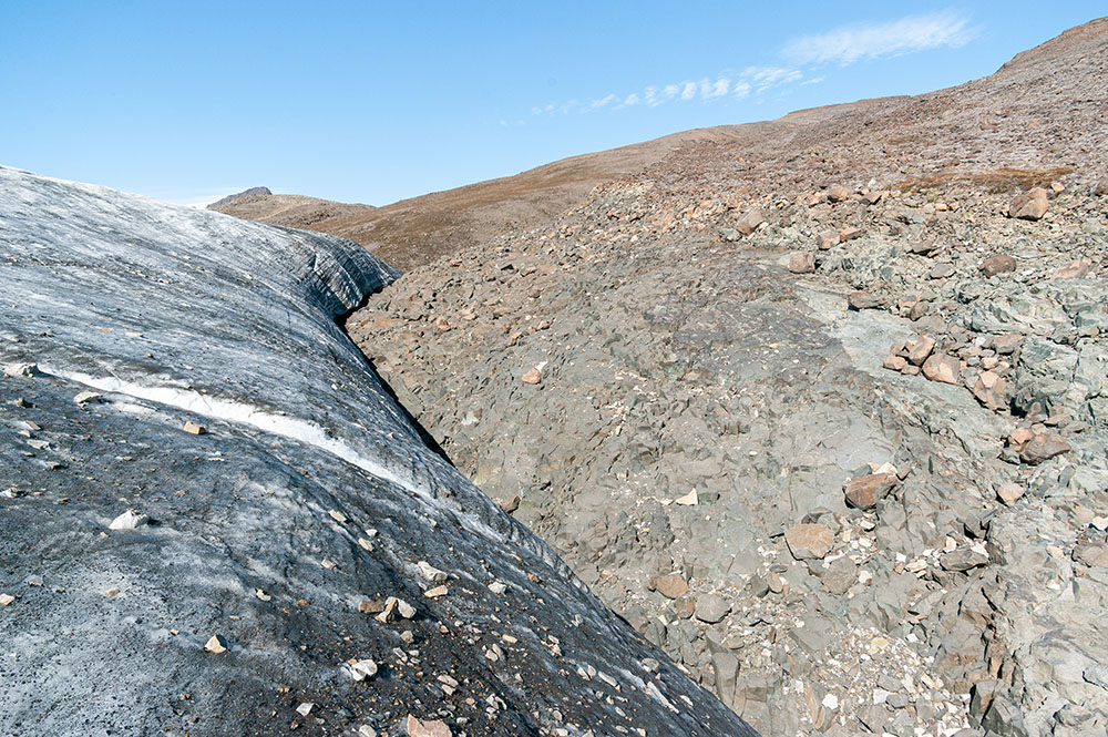 2008: True left margin of Crusoe Glacier looking north from the glacier surface. Lack of vegetation and soil up to several tens of metres above the glacier indicates that recession of this part of Crusoe Glacier was already taking place before 2008. | 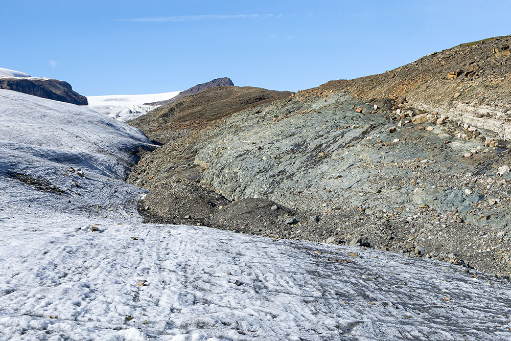 2022: Obviously, the 2008 photo could not be accurately repeated from the lowered glacier surface. Nevertheless, a much wider area of the gabbro outcrop and a lateral moraine have developed since 2008. | 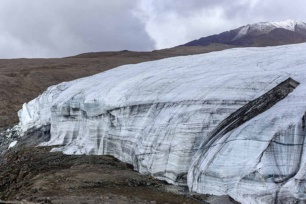 2008: Western part of the glacier front. On the left is the cliff which the glacier approached around 1977 and where a new meltwater stream started to flow towards Expedition Fiord. | 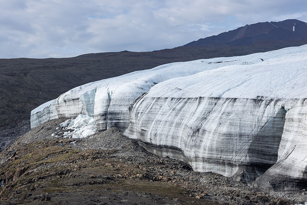 By 2022 the glacier has receded slightly. However, most notable is the thinning, highlighted by the background horizon. |
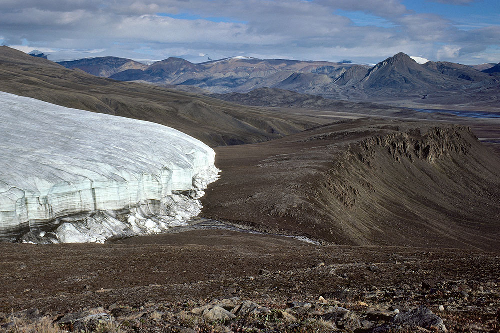 1977: Western part of the glacier front. The view is in the opposite direction to the previous two images. Below centre is the new meltwater stream flowing towards Expedition Fiord which is to the left, outside the frame. Previously, all drainage took place along the glacier front towards the valley above centre. | 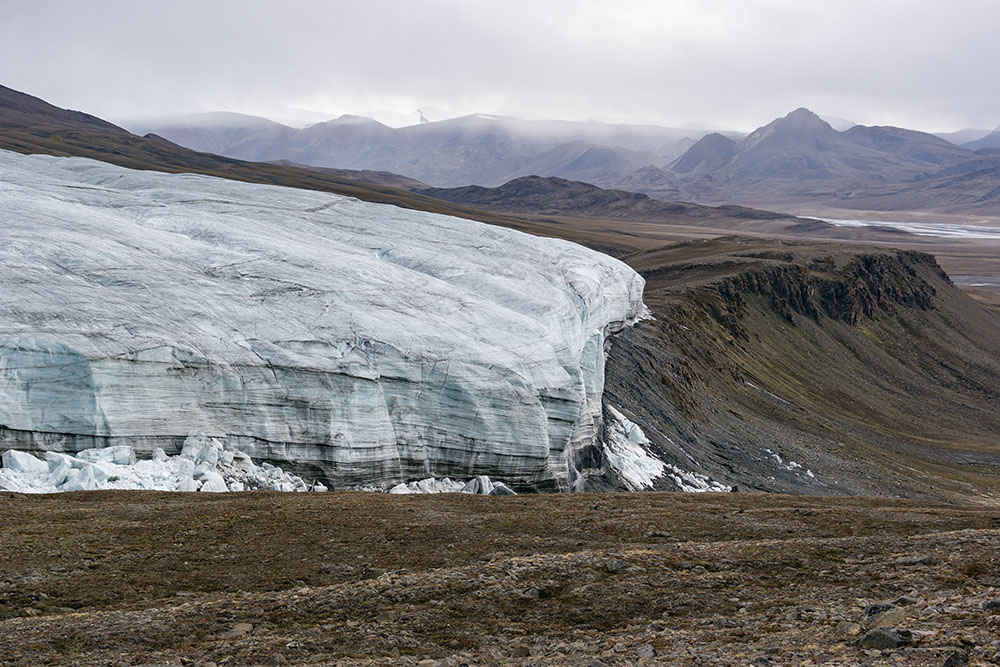 By 2008 the glacier had reached the cliff and periodically produced ice avalanches. Cliff collapse also takes place along the true right glacier margin, visible on the lower left. It is, to some extent, caused by undercutting of the glacier by its marginal meltwater stream. Little Matterhorn is the mountain on the far right. | 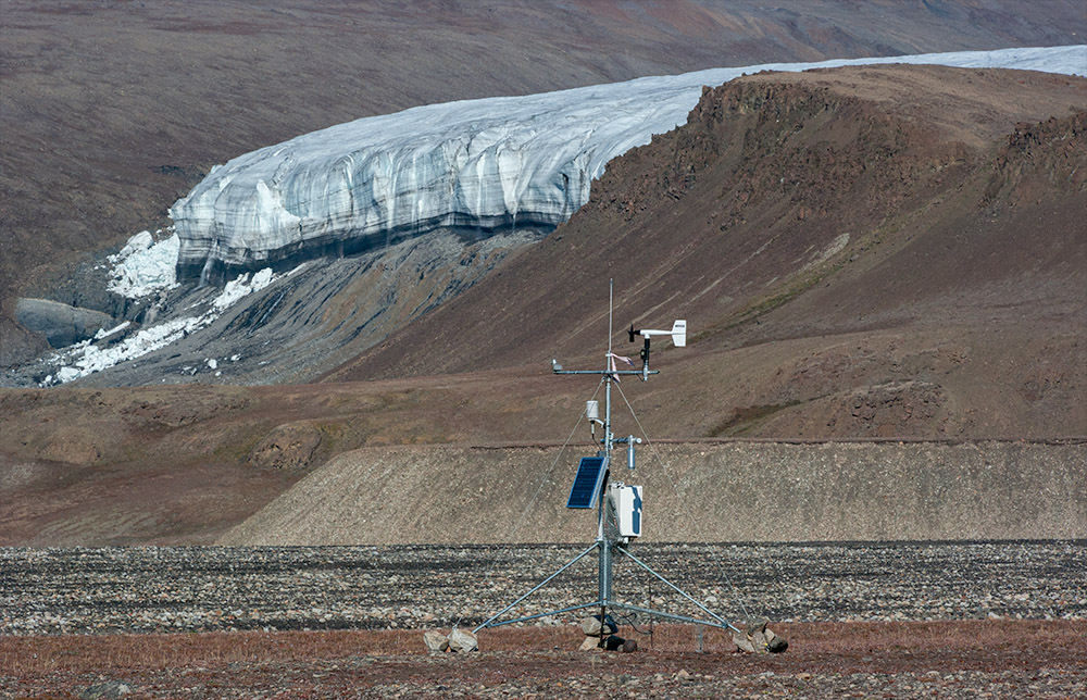 2008: View from the temporary Canadian Space Agency camp towards the western part of the glacier front. | 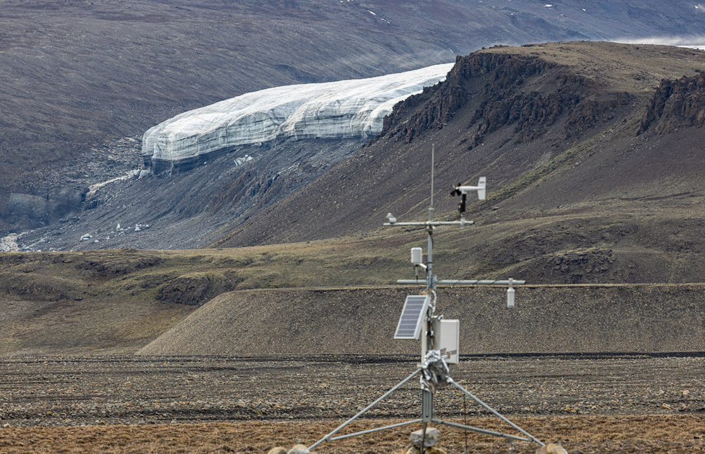 Nearly identical view in 2022. Recession of the glacier is obvious. Most notable is the thinning, emphasized by the gabbro ridge on the upper right. |
| Photos Jürg Alean, 1977, 2008, 2022 |