Kahiltna Glacier, Alaska RangeKahiltna Glacier is a spectacular valley glacier descending for roughly 70 kilometres from a multitude of firn basins between Denali (Mount McKinley) and Mount Foraker. It is the largest valley glacier in the central Alaska Range. |
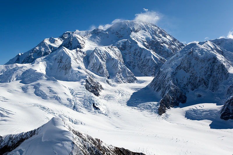 View over the upper accumulation area of Kahiltna Glacier towards Denali (Mount McKinley; 6196m). There is an altitude difference of roughly 4000 metres between the foreground and Denali's summit! | 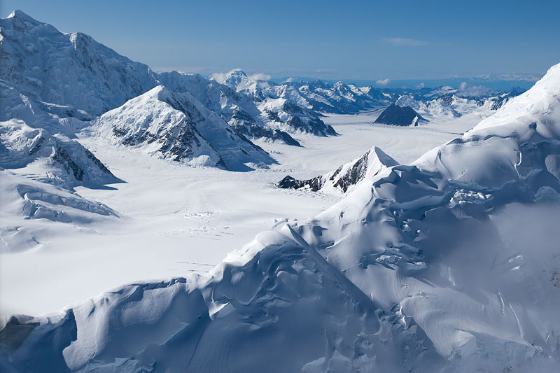 View from near Kahiltna Pass; 3150m) over the accumulation area of Kahiltna Glacier. Mount Hunter (or Begguya, meaning "Denali's Child"; 4442m) is on the top left. The ridge in the foreground leads up to Kahiltna Dome. | 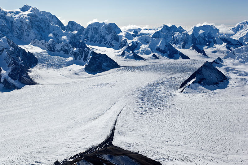 Confluence of several flow units from firn basis high on Kahiltna Glacier. Mount Hunter is on the upper left. A thin layer of fresh snow from the previous few days lies on the glacier. | 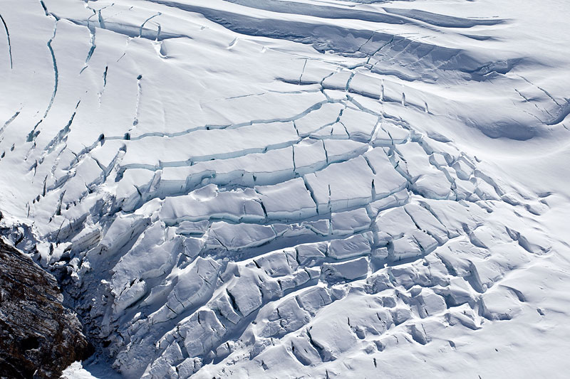 Crevasse field near the true right margin of upper Kahiltna Glacier. |
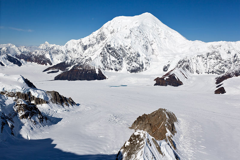 Mount Foraker (5304m), second highest peak in the central Alaska Range, towers above the accumulation area of Kahiltna Glacier. | 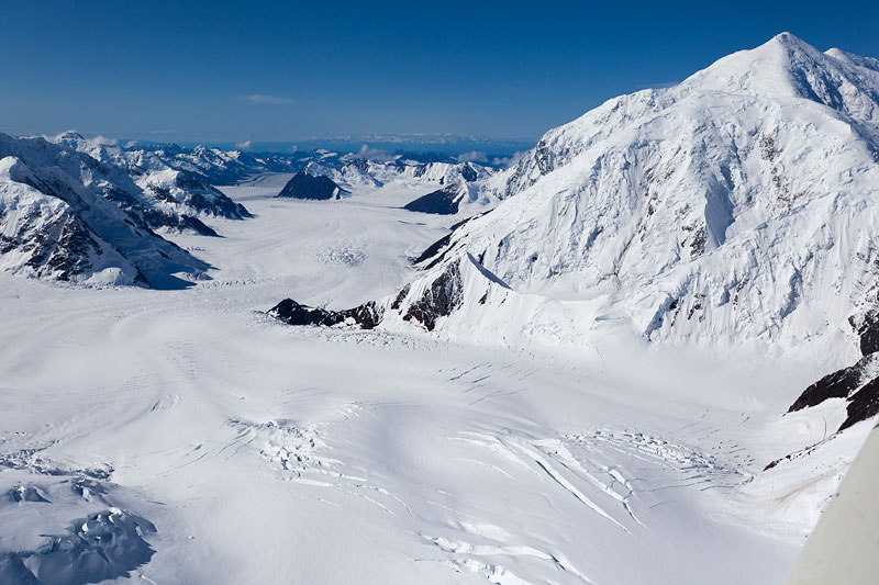 View from above the firn basin north of Mt. Crosson down over 40 kilometres of Kahiltna Glacier's length. The summit of Mt. Foraker is behind and above Mt. Crosson, far right. | 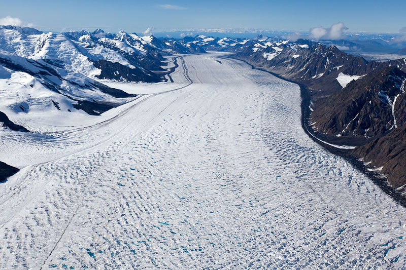 For about 30 kilometres, Kahiltna Glaciers flows almost in a straight line. Hundreds of meltwater ponds have formed in the crevasse field in the foreground (see also next image). | 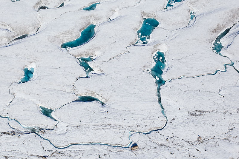 Meltwater ponds, channels and a big boulder at the 6000 foot level (1900m) on Kahiltna glacier. |
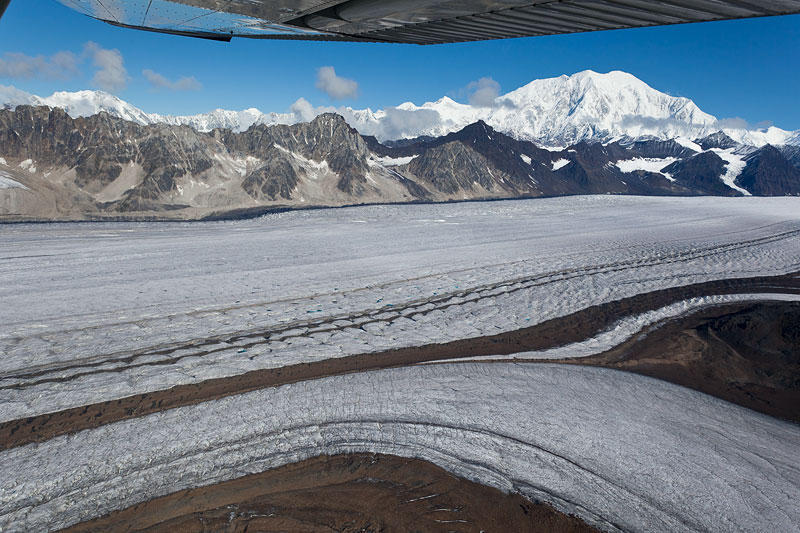 A tributary glacier is entering the main flow unit of Kahiltna Glacier south of Avalanche Spire, forming one of several middle moraines. | 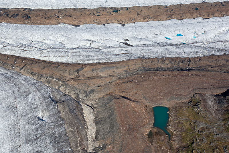 A small but pretty moraine-dammed lake between Kahiltna Glacier (top) and one of ist many tributary glaciers. Note meltwater ponds on Kahiltna
Glacier. | 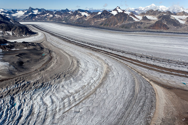 Different types of bedrock cause a multitude of colours in the middle moraines of Kahiltna Glacier. The main valley glacier is 4 kilometres wide here. | 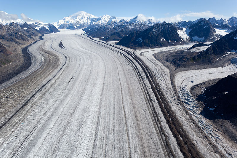 Looking upglacier towards Denali (left of centre) and Mt. Foraker (left margin). Note large patch of moraine debris on Kahiltna Glacier, caused by a rockfall (upper left). |
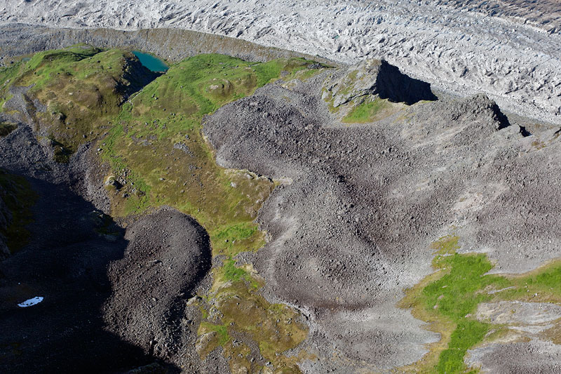 Many rock glaciers can be found on both sides of Kahiltna Glacier. Note also small lake dammed by the glacier's true left lateral moraine. | 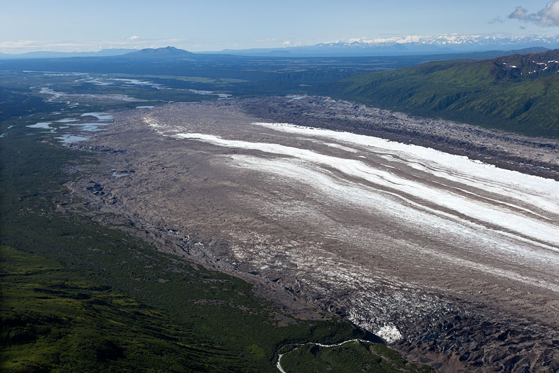 Terminus of Kahiltna Glacier; note stream disappearing under the glacier in the middle foreground. The tongue is more than 5 kilometres wide. | 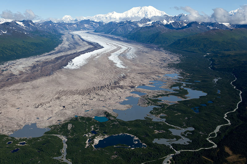 Series of glacial lakes between the terminal moraine and the receding terminus of Kahiltna Glacier. Mount Foraker in the distance. | 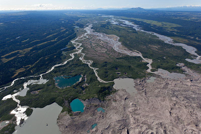 Large kettle holes, terminal moraine of Kahiltna Glacier and meltwater streams flowing in a south-south-easterly direction, away from the Alaska Range. |
| All photos Jürg Alean, July 19th, 2011 |