Iceland in aerial photosOn this page we show panoramic views of Iceland volcanoes and glacier caps collected during airline flights connecting Iceland to Europe in rare perfect weather. |
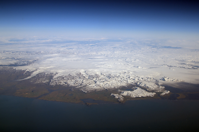 Katla shield volcano, icecap of Myrdalsjökull and the glacier tongue of Sólheimajökull (left, view from the South). | 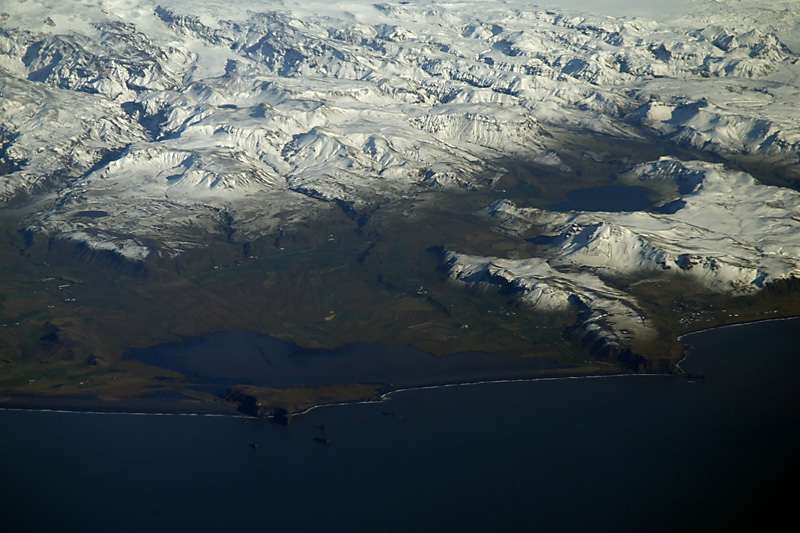 Zoom on the Vik coastline just south of Katla, with the Dyrhólaós lagoon and the rocks of cape Dyrhólaey. | 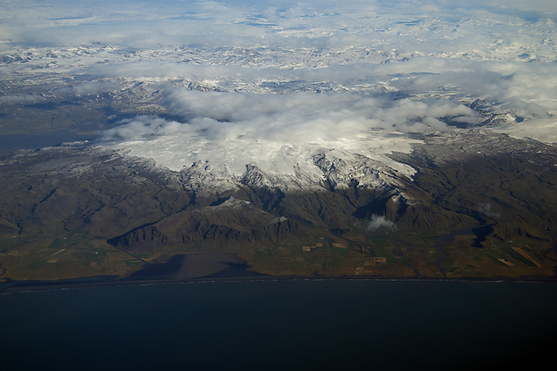 The icecap of Eyjafjallajökull in 2007, i.e. before the big eruption of 2010: the saddle towards Katla volcano on the right. | 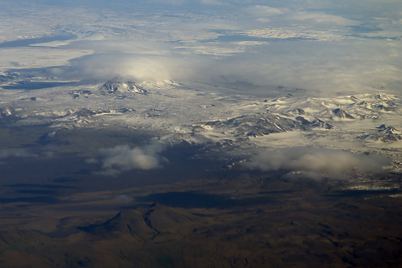 Flying west we reach Hekla volcano, partially hidden by a cloud cap, and the western slopes of Tindfjallajökull (right). |
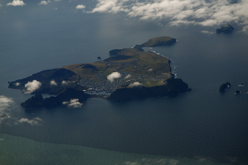 The island of Heimaey appears on the left of our route, with the Eldfell volcano (1973 eruption, left background). | 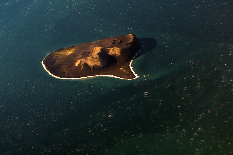 Further south-west, we fly over Surtsey, a submarine volcano which rose out of the sea during the famous eruption of 1963-1967. | 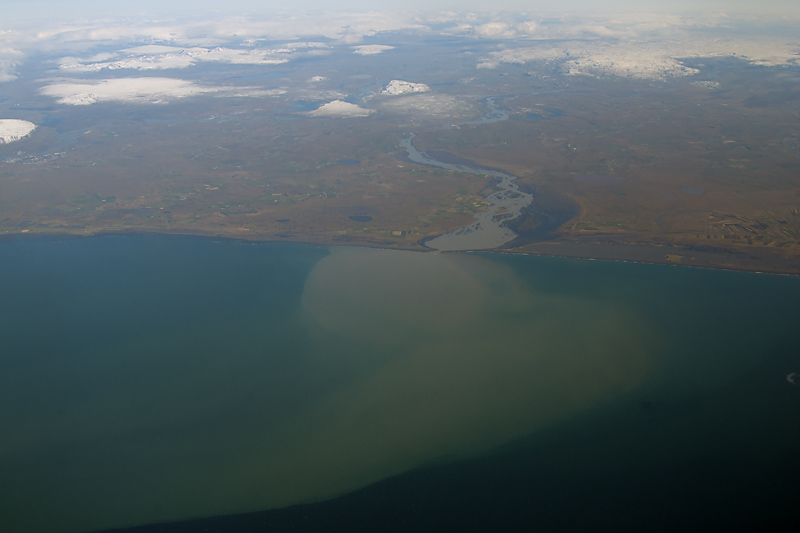 Þjórsá river discharges sediments into the Atlantic Ocean. The plume is many kilometres long (view from the South). | 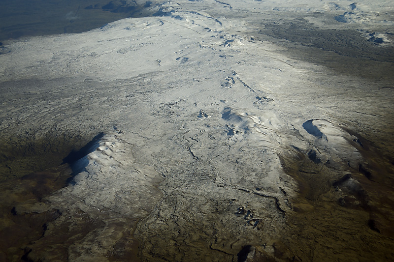 Chains of cinders cones from linear eruptions in the park of Reyjanesfólkvangur, on the Reykjanes Peninsula. |
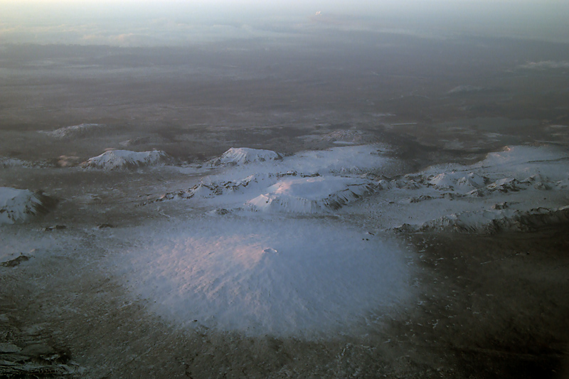 Skjaldbreidur, a perfectly symmetrical shield volcano southwest of Langjökull. The white plume from erupting Eyjafjallajökull is at the horizon (23 April 2010, center top, view from northwest) | 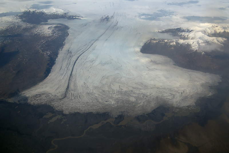 Skeidarárjökull is a southern outlet glacier from Vatnajökull: note the intricate patterns caused by firn stratigraphy (view from the south). | 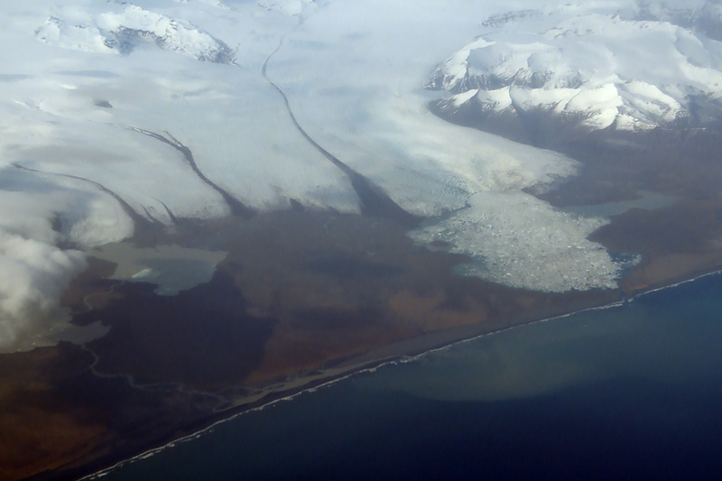 Breidamerkurjökull, another outlet glacier of the Vatnajökull icecap, and several proglacial lakes. The biggest, Jökulsárlon (right) is filled with icebergs (view from south). | 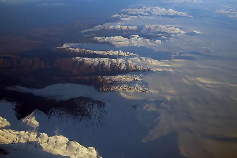 The easternmost outlet glaciers of Vatnajökull: Hoffelsjökull (bottom) and Skálafellsjökull (top, view from northeast). |
| Photos by Marco Fulle, Sept 2007 and Apr 2010 (third row of photos). |