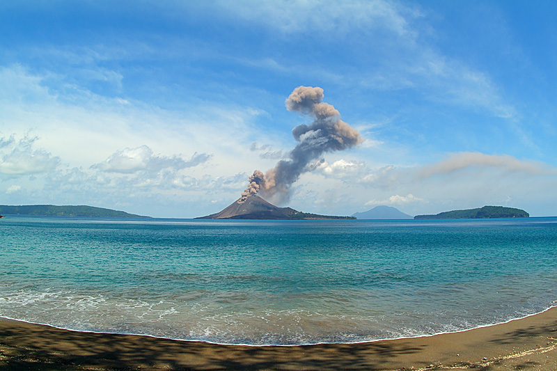
 Anak Krakatau with ash column of a vulcanian eruption from Palau Rakata. Left: Palau Sertung; right: Palau Panjang, both part of the caldera rim. In the far distance Sebesi Volcano. | 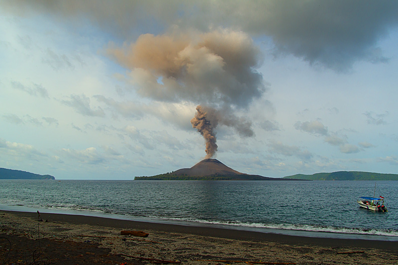 A vulcanian eruption causing an ash column occurred on Anak Krakatau (centre) only 30mins after we left the island, here seen from Palau Panjang. Palau Rakata at left, Palau Sertung at right. | 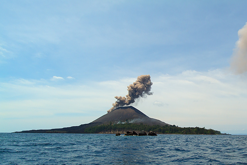 On the sea between Palau Panjang and Anak Krakatau. In the foreground dikes of an older volcano, Bootsman Rots. Note blue smoke from bush-fires started by bombs landing in a pine forest. | 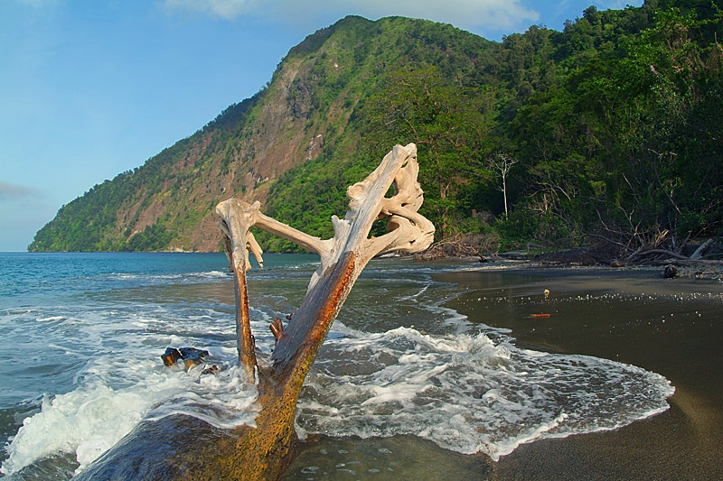 The impressive cliff of Palau Rakata rises 800m steeply from the sea: the caldera here collapsed along a dike of the former central magmatic conduit of extinct Rakata Volcano. |
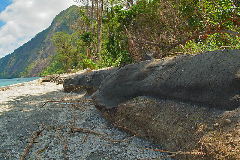 Coastal erosion exposes layers of pumice and tephra deposited on Rakata during the cataclismic eruption of 1883, later buried by black ash from more recent eruptions of Anak Krakatau. | 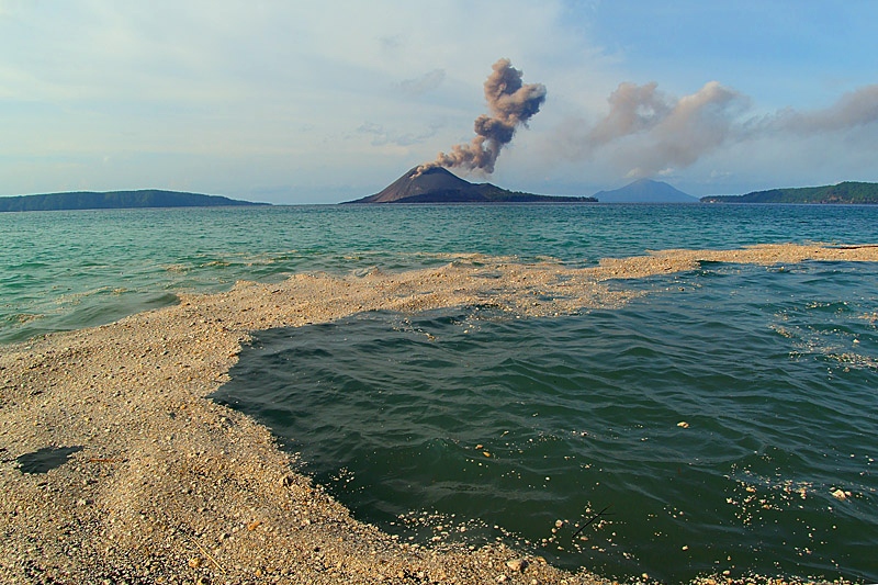 Coastal erosion washes pumice into the sea near Rakata: it floats around the caldera, forming rafts and, driven by currents, washes up on other beaches. | 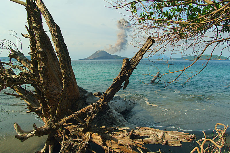 Land is lost to the sea because of erosion, so that trees over a century old, and which have grown since the catastrophe of 1883, are now falling into the water. | 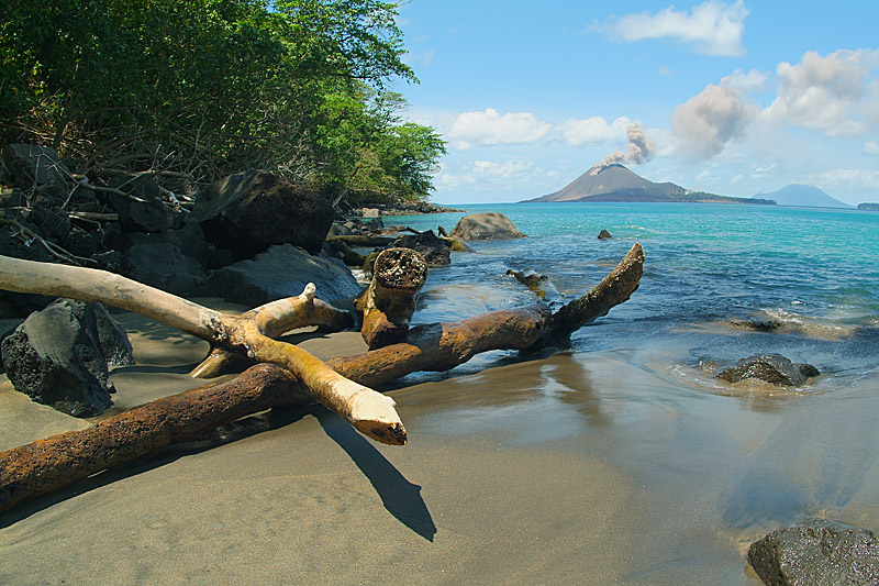 Forests are also affected by frequent landslides from the steep slopes of the caldera's inner wall on Rakata: huge blocks of black basalt have crashed on trees along the coast. |