Hooker Glacier and Valley, terrestrial photosAccess to the glacier terminus is hazardous and challenging, owing to the instability and steepness of the bounding moraines. However, it can be viewed from the southern end of the proglacial lake, after a marvellous valley walk from Aoraki/Mount Cook village, during which the peak itself dominates the view. |
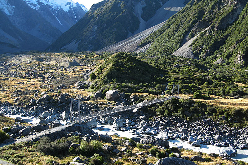 The walking route to Hooker Glacier Lake originates from nearby Aoraki/Mount Cook village. Although this does not provide ready safe access to the glacier snout itself, numerous glacial features can be seen en route. | 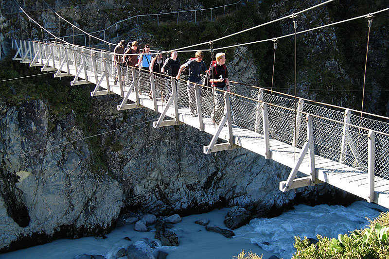 After traversing the ledge hewn out of the rockface above the Hooker River gorge (background), the path recrosses the river by this second suspension bridge. The river at this point occupies a single channel and is very fast-flowing. | 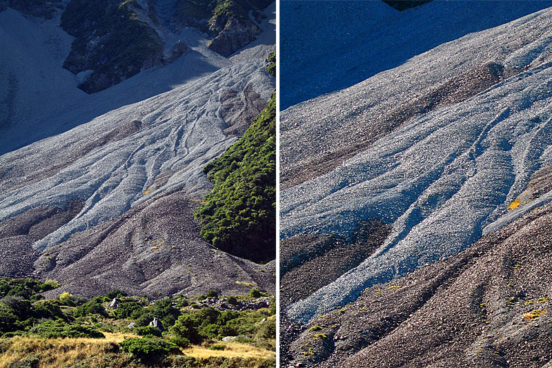 Slope processes are highly active around Aoraki/Mount Cook. Here side-lighting picks out the morphology of a debris-fan, formed by reworking of scree material by water (enlarged section on the right). | 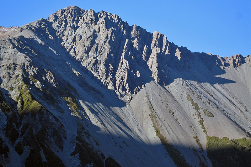 Scree formation is another major slope-forming process on the mid-elevation slopes in the Aoraki/Mount Cook district, as well displayed on Mount Wakefield above the Hooker Valley path. |
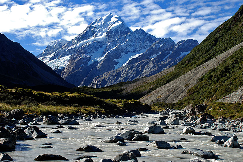 The Hooker Valley's ‘parabolic’ profile is evident, with scree on the lower slopes. Aoraki/Mount Cook is heavily draped with hanging glaciers, which supply Hooker Glacier, here out of site behind the Little Ice Age moraine. | 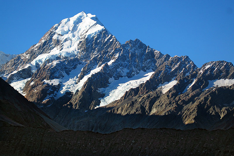 Telephoto shot of Aoraki/Mount Cook and its south ridge, an aręte with flanking glaciers (April 2006 from Kea Point). In the shadow is the moraine of Mueller Glacier. | 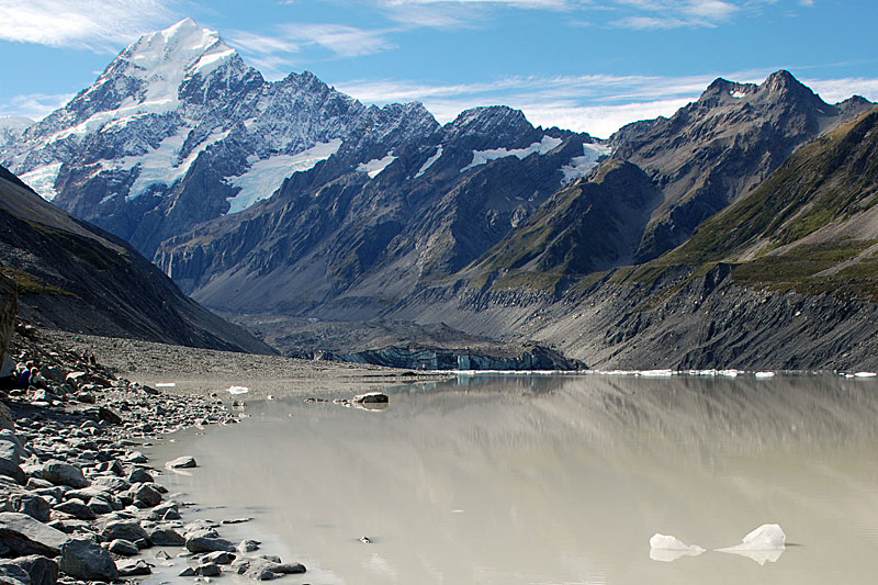 The shore of Hooker Glacier Lake showing the glacier at the head and Aoraki/Mount Cook rising above in April 2008. The grey colour of the water is from suspended sediment that is delivered by a subglacial stream. | 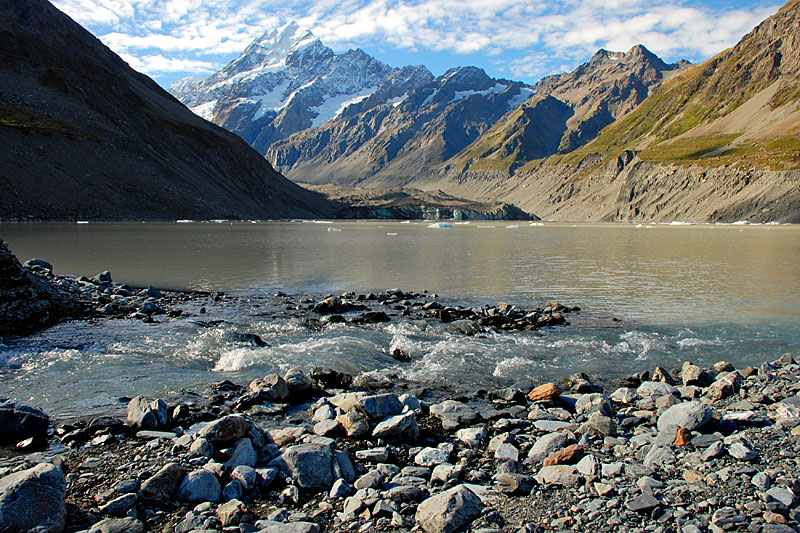 In the foreground, the turbidity of the small stream from Eugenie Glacier is evidently much less than that of the lake. The small stream has produced a debris fan than extends into the lake. Note the ice cliff of Hooker Glacier (April 2008). |
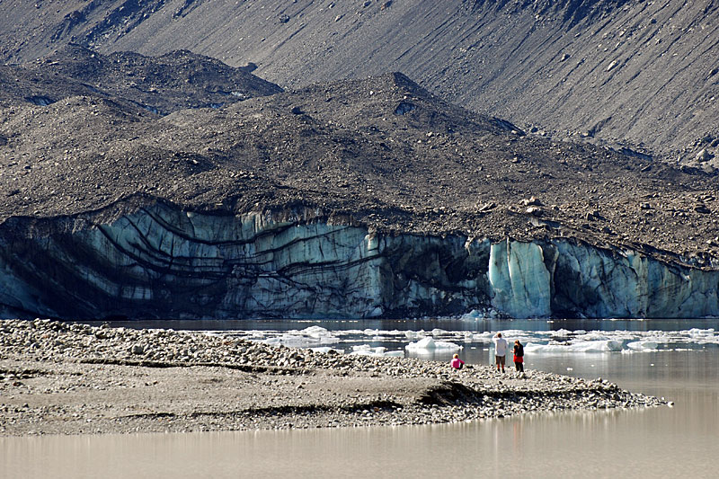 Telephoto shot of Hooker Glacier snout in April 2008, illustrating a synclinal structure in the ice cliff and the continuous mantle of supraglacial debris. In the foreground is the debris fan produced by the stream from Eugenie Glacier. | 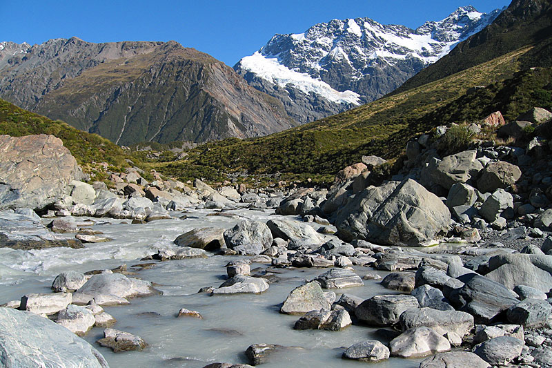 The eroded breach of the Little Ice Age moraine at the outlet from Hooker Glacier Lake gives a clear indication of the size of the boulders transported originally at the base of the glacier. Note the alluvial fan from Tewaewae Glacier on the right-hand side of the valley. | 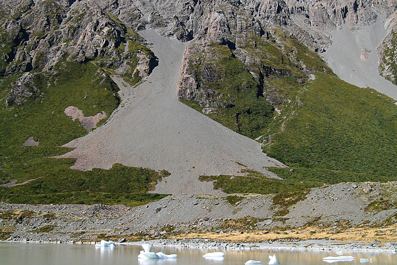 The relative ages of this scree slope and the Little Ice Age moraine above the lake are evident in this photograph; the scree has in part obliterated the moraine. Note the small icebergs (bergy bits) from Hooker Glacier in the lake. | 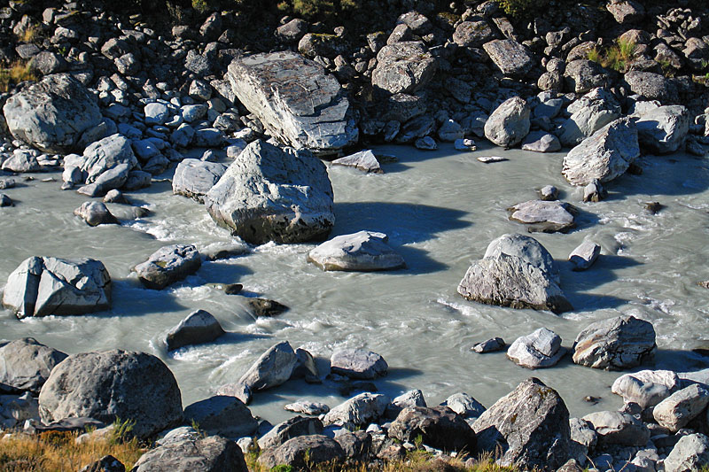 Looking down from the Little Ice Age moraine into the breach where the Hooker River begins. Some of these large boulders, derived from the moraine, are several metres across. |
| Photos Michael Hambrey |