Topographic maps of the expedition areaBelow are location maps, satellite images and, in rows 2 and 3, scanned sections of the map "Thompson Glacier Region, AxelHeiberg Island, N.W.T., Canada", original scale 1:50'000, produced by the Photogrammetric Research Section of the National Research Council of Canada, based on aerial photographs taken on July 28th and August 13th 1959. The grid width in the scanned images is 5 kilometres. Note that the images are large and will require scrolling. |
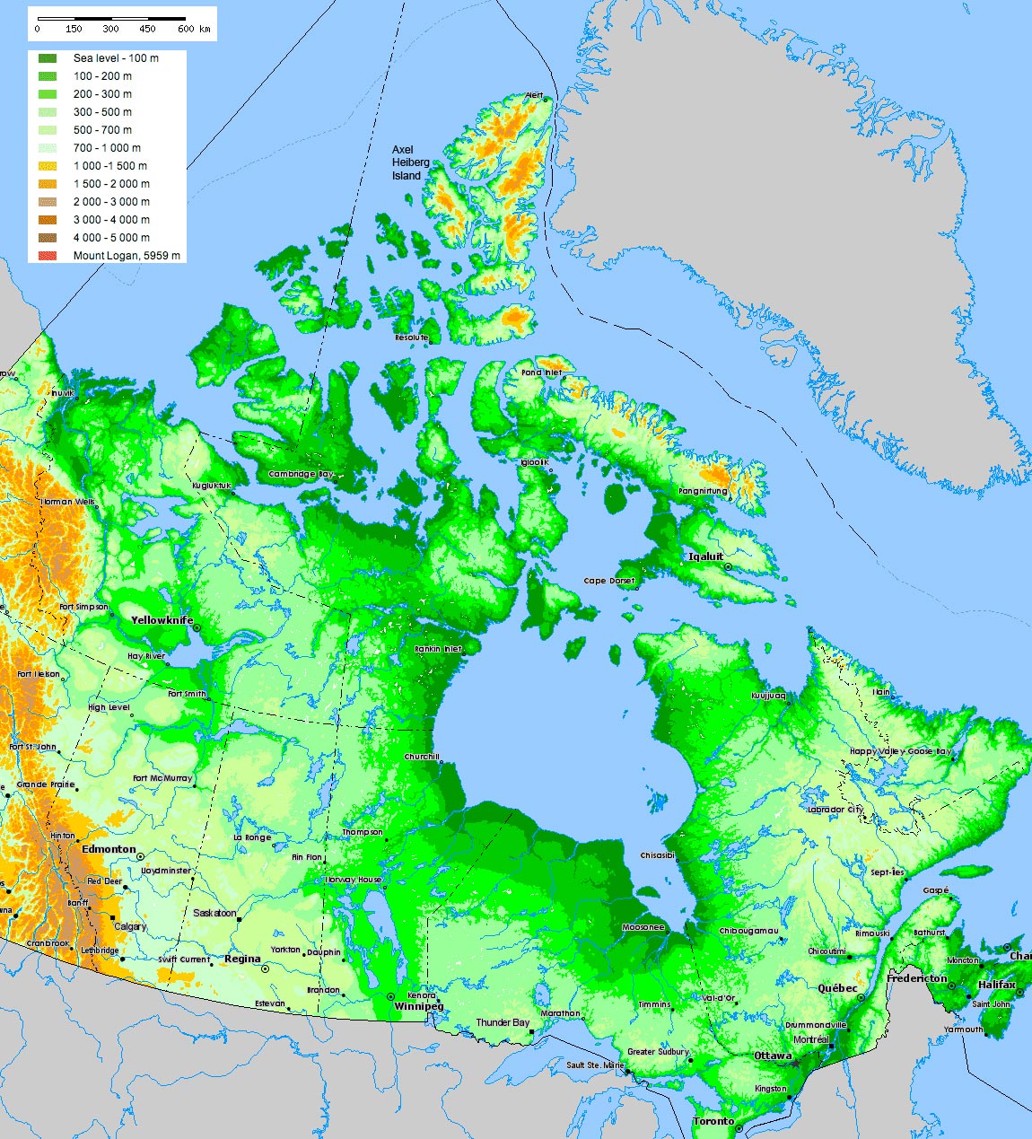 Relief map of Canada with Axel Heiberg Island labelled (The Atlas of Canada). | 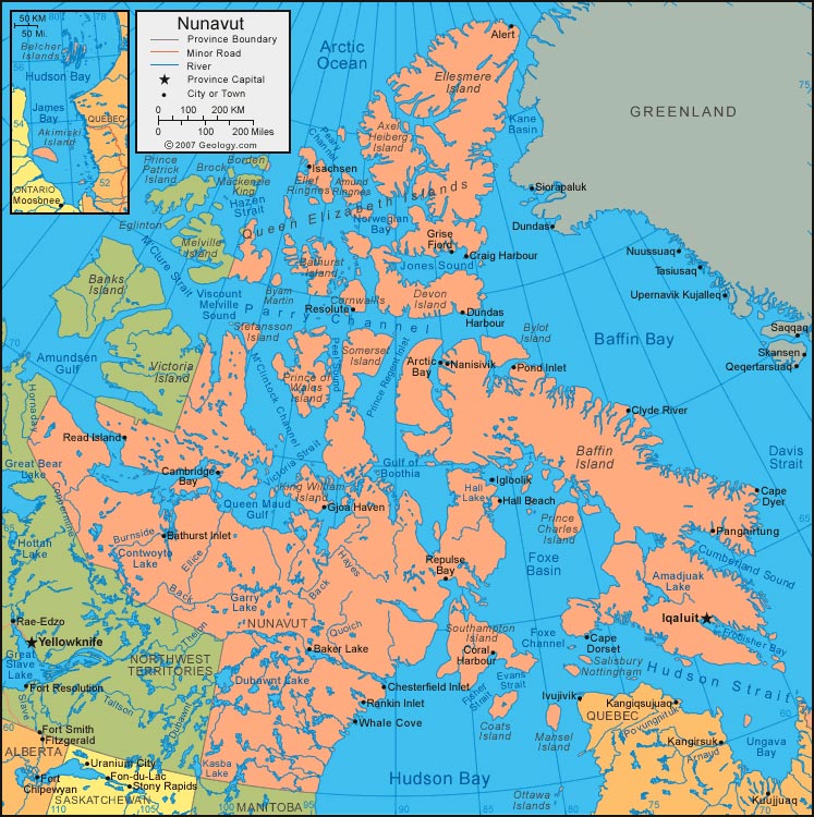 Map of Nunavut, Canada (The Atlas of Canada). | 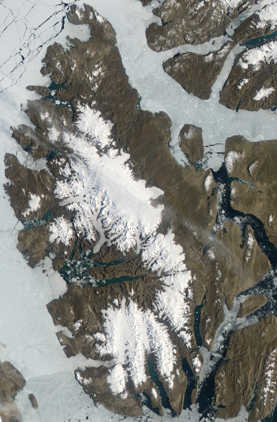 Aqua satellite image from July 22nd, 2008 (NASA Earth Observatory). | 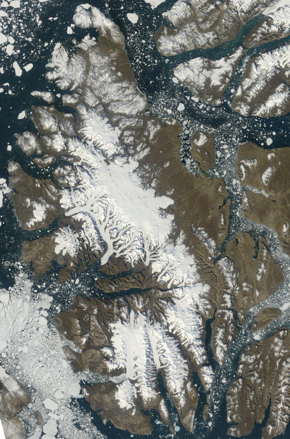 Terra satellite image from August 29th, 2008 (NASA Earth Observatory). |
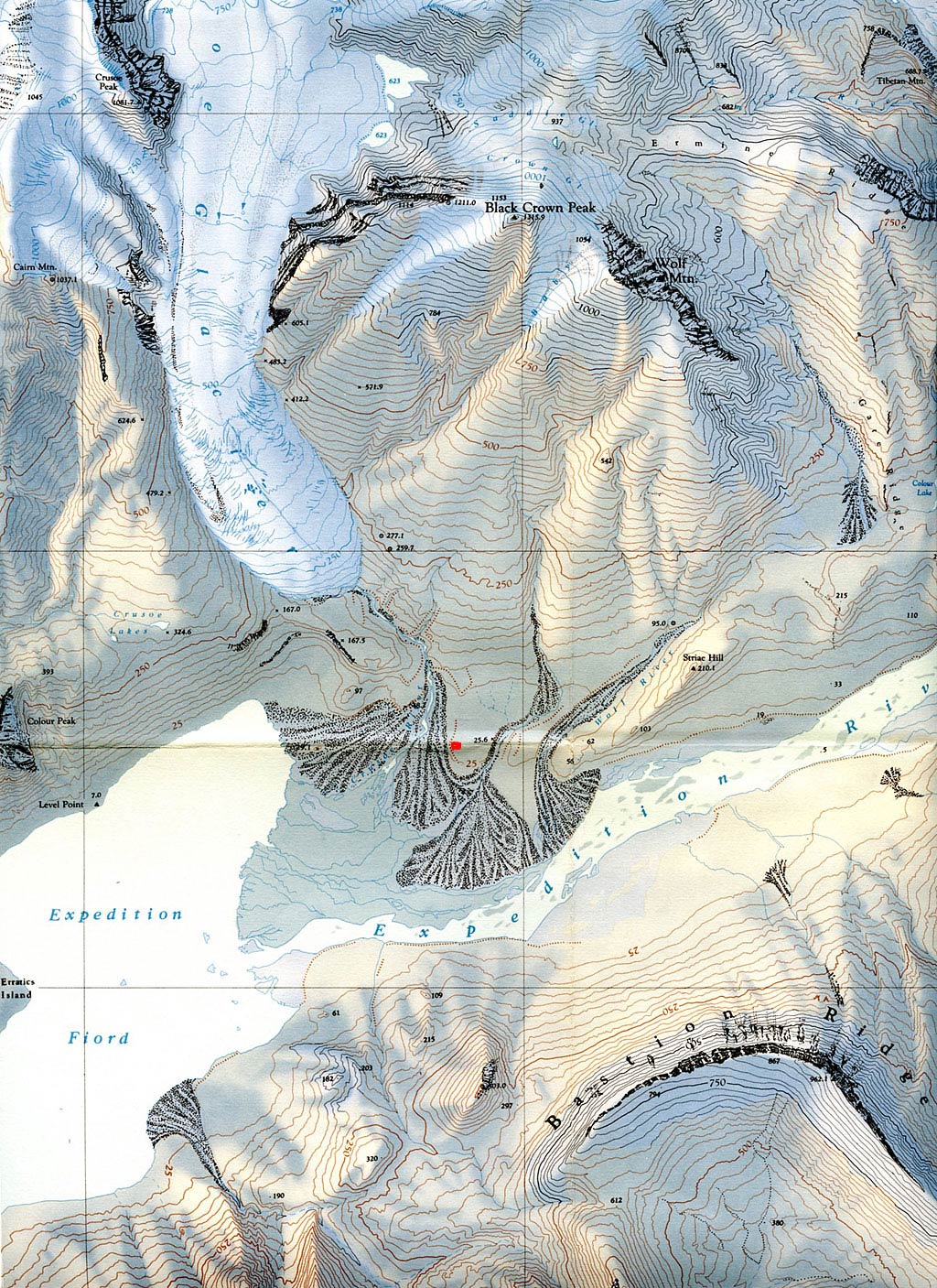 Crusoe Glacier, Baby Glacier and Bastion Ridge. The red square indicates the new basecamp. | 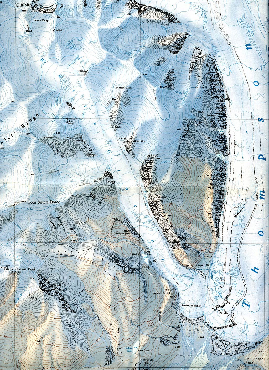 Baby, White and Thompson Glacier | 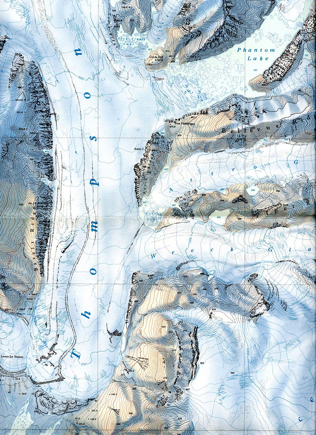 Thompson. Astro and Piper Glacier (in the map labelled, and formerly called, Wreck Glacier) | 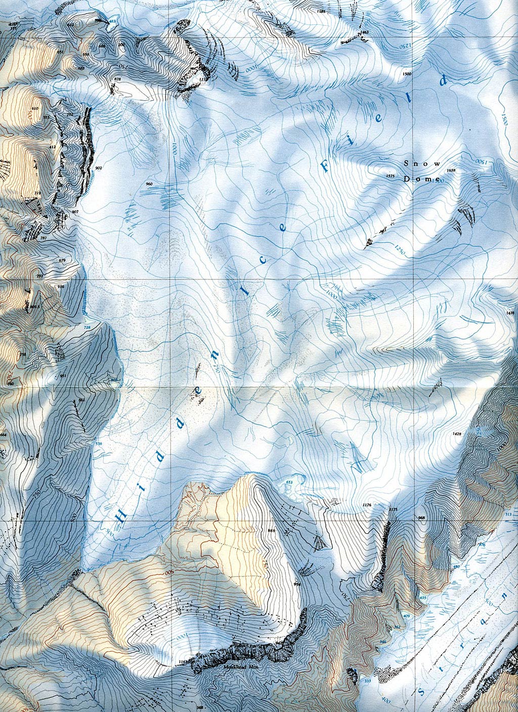 Hidden Icefield |
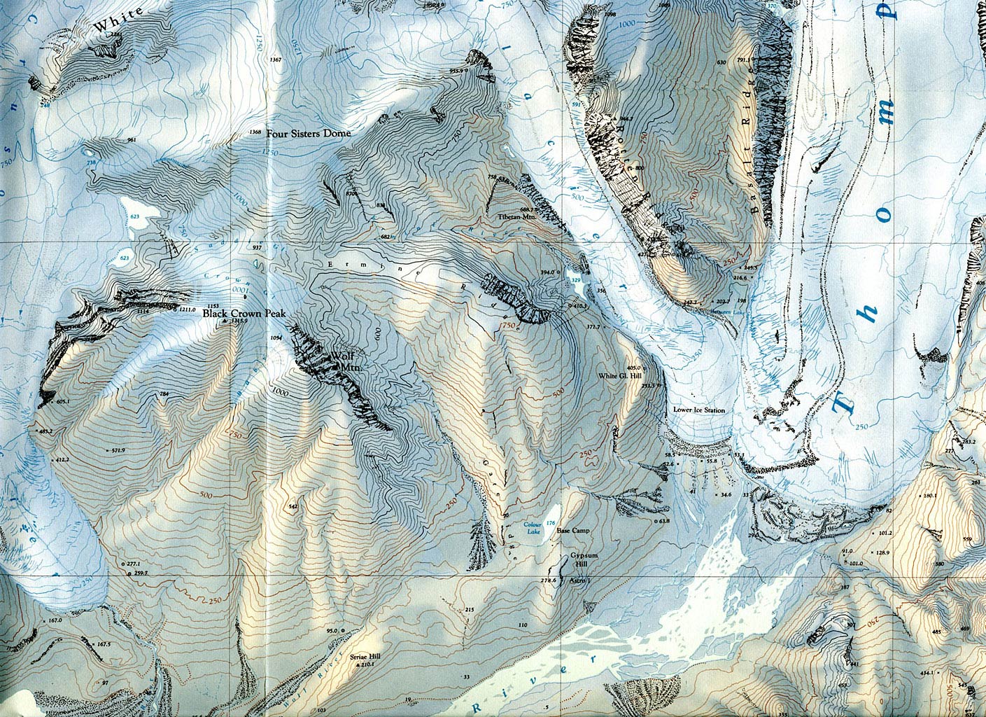 Crusoe, Baby, White and Thompson Glacier | 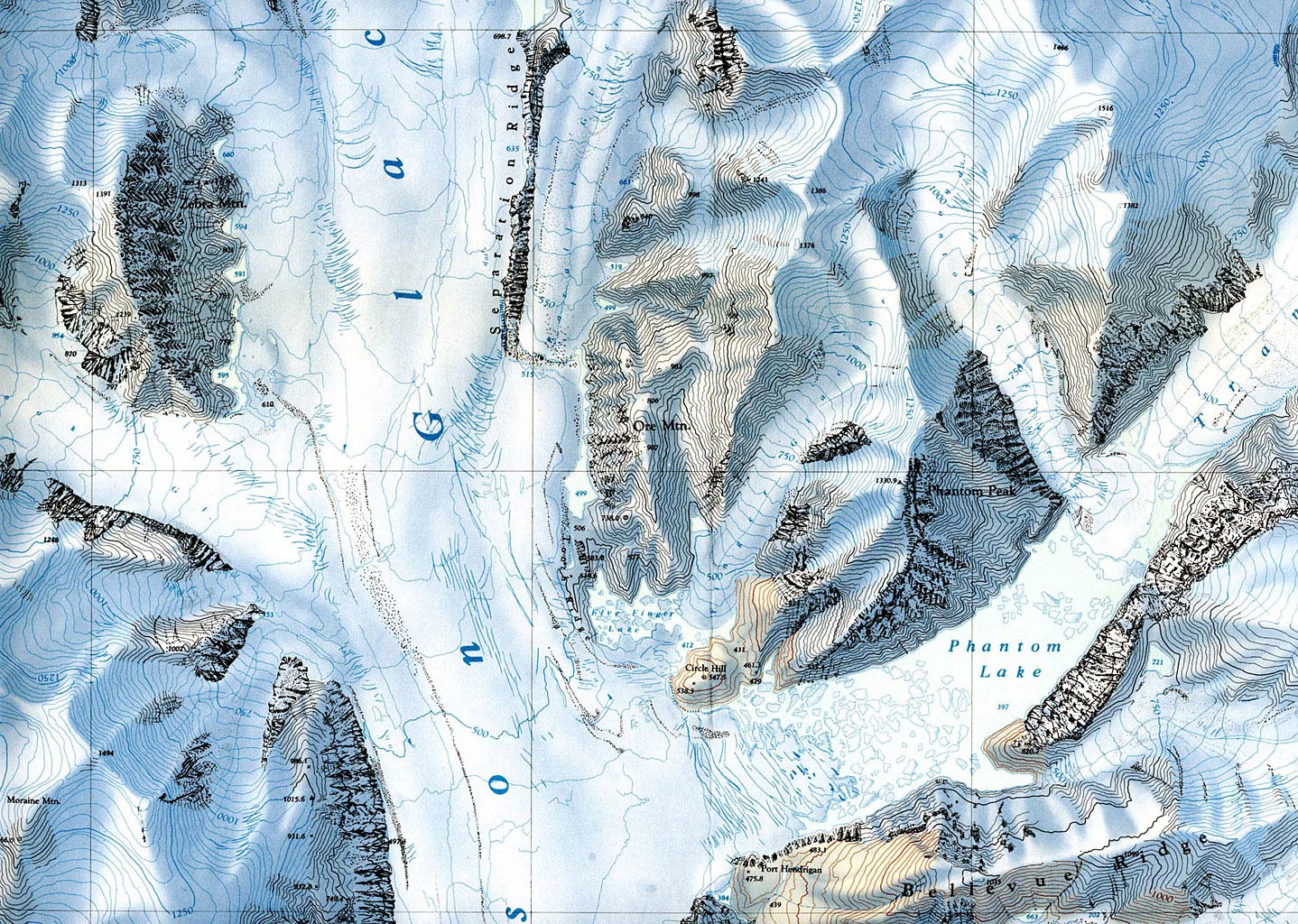 Zebra Mountain, Phantom Peak and Phantom Lake | | |
|