Palmer LandPalmer Land is the name give to the southern portion of the Antarctic Peninsula, whereas the northern part is referred to as Graham Land, the rough boundary between the two occurring in latitude 69°S, SE of Rothera. Graham Land was named after the English statesman, Sir James Robert George Graham (1792-1861), and carries the narrow thin northern part of the Antarctic Peninsula Ice Sheet. Palmer Land was named after Captain Nathaniel B. Palmer, an American sealer who explored the Antarctic Peninsula in 1820, and bears a substantially wider zone of the ice sheet. The Antarctic Peninsula Ice Sheet is the smallest of the world’s ice sheets, after the East and West Antarctic ice sheets and the Greenland Ice Sheet. However, it represents the most vulnerable part of Antarctica to climatic change. Recent warming has led to almost unprecedented collapse of the fringing ice shelves, and increased discharge of the grounded glaciers inland into the sea.
This collection of photographs illustrates the varied glaciological phenomena of southern Graham Land and the west coast of Palmer Land. The ice sheet rests on a mountainous glacially dissected plateau reaching over 2000 metres in height. The ice buries numerous alpine-style peaks, which only become exposed at the seaward edges. The main ice shelf in this region is the rapidly receding George VI, covered in an earlier section. The region also includes the site of the former extensive Wordie Ice Shelf, which was one of the first of the Peninsula ice shelves to collapse.
These photographs were taken on a Twin Otter flight from Rothera to our field site on Alexander Island. The aircraft windows were scratched so image quality has suffered to some extent as a result.
|
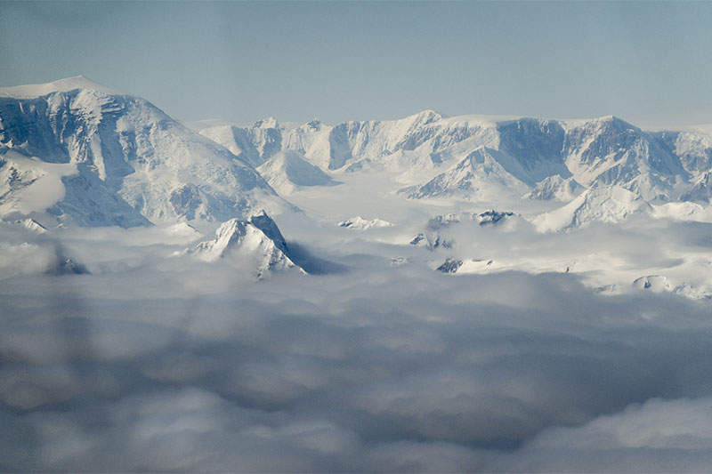 Fallières coast of southern Graham Land protrudes through a blanket of low cloud, revealing the plateau-like form of the mountains and the thin ice sheet on top. | 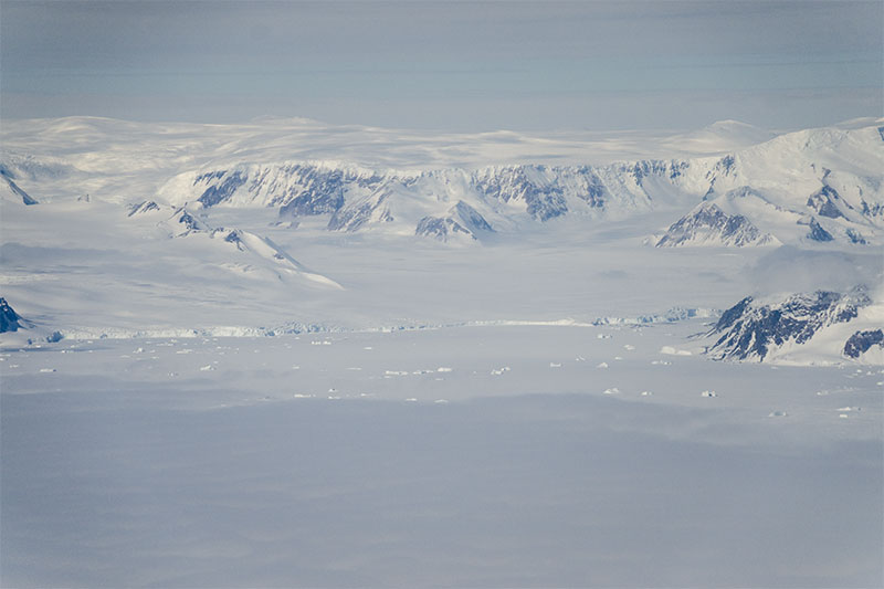 Hadley Upland (left) and Godley Upland right, with Dee Ice Piedmont terminating in the frozen sea in front. | 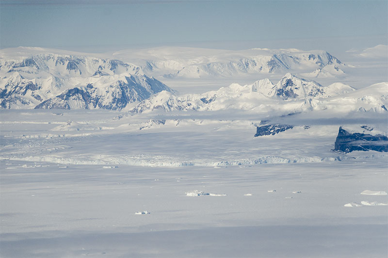 In northern Palmer Land, Wordie Ice Shelf covered 2000 square kilometres in 1966, but then lost most of its area as a result of rapid break-up. Today, only this small remnant remains. | 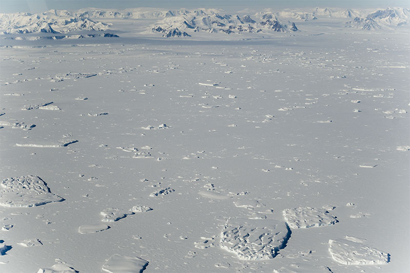 Most of this area was formerly occupied by Wordie Ice Shelf, originally fed by Fleming Glacier, seen in the background. All that remains today are scattered icebergs, here still surrounded by the winter sea ice. |
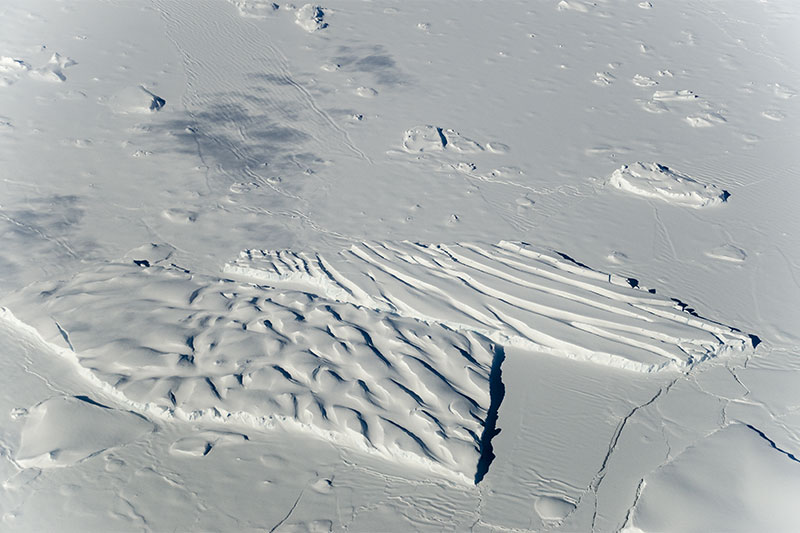 Two contrasting crevassed icebergs side-by-side in sea ice. The embayment formerly occupied by the ice shelf is now called Wordie Bay. | 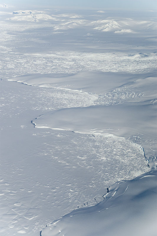 The southern fringe of Wordie Bay, Palmer Land, showing how grounded ice now terminates at the coast as ice cliffs, the floating part having disappeared. | 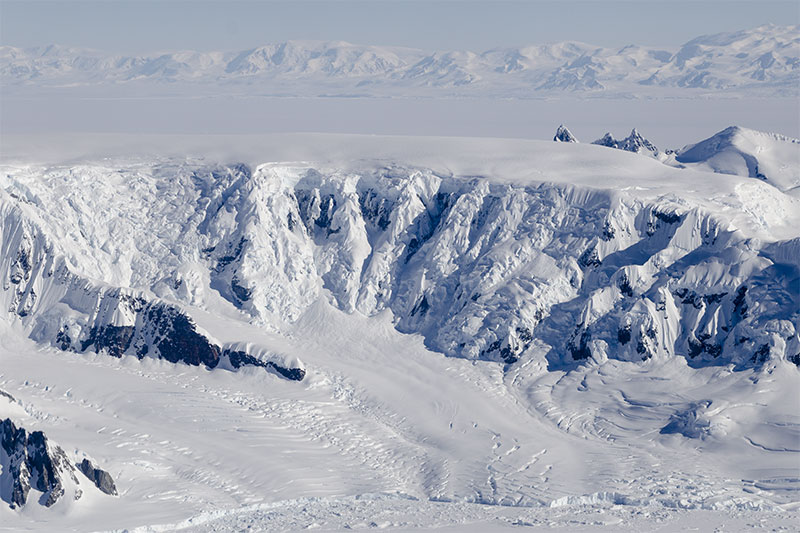 A composite low-level cirque with ice cap, ice cliffs and glaciers terminating in the sea. This mountainous promontory forms the south coast of Wordie Bay. | 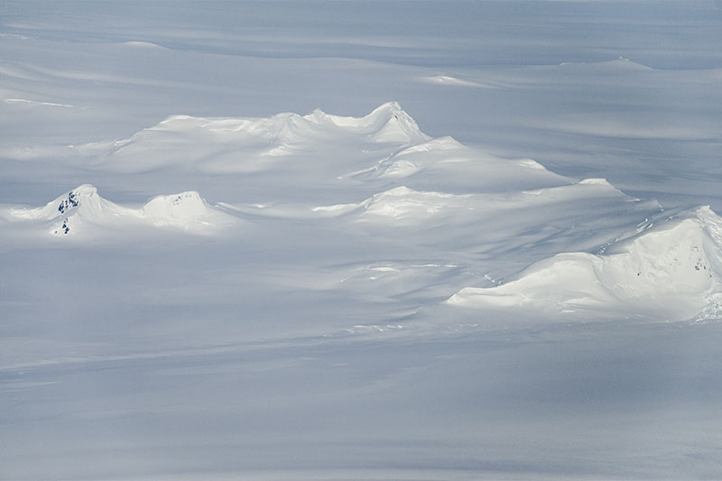 The Antarctic Peninsula Ice Sheet is characterized by many alpine peaks. These peaks, in Relay Hills, are totally ice-covered. |
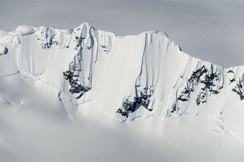 A fine arête with fluted snow and a prominent bergschrund, in mountains north of Eureka Glacier. | 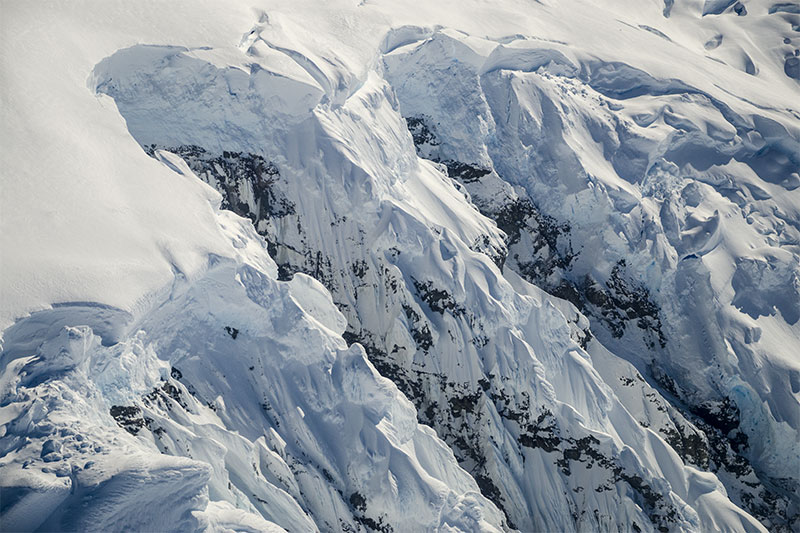 Unstable ice cliffs at the edge of an ice cap, with ice-covered rock buttresses extending below. | 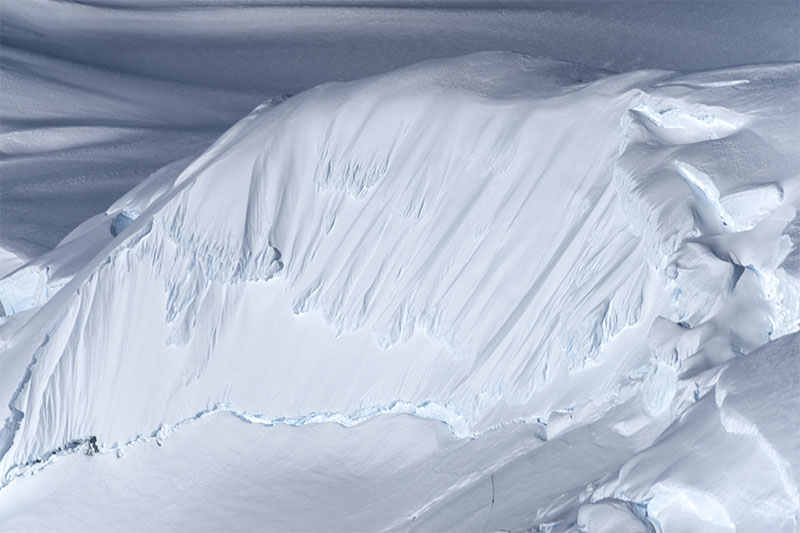 Steep fluted slopes and bergschrund at the edge of a small peripheral ice cap, northern Palmer Land. | 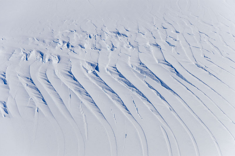 Surface of Eureka Glacier, showing a series of snow-bridged crevasses. Travel in such areas is dangerous. |
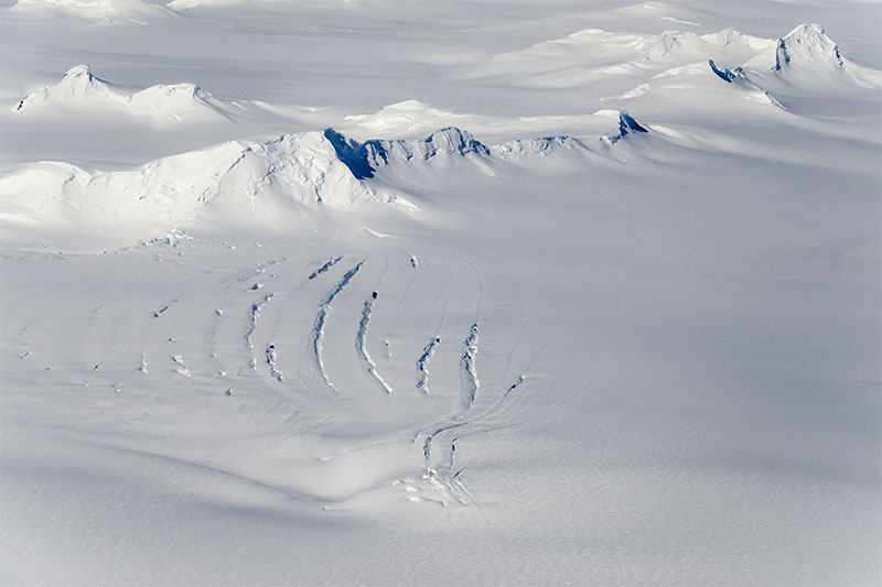 Curved transverse crevasses indicative of extending flow in a tributary of Eureka Glacier. | 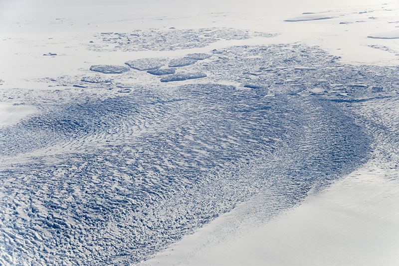 Eureka Glacier is a fast-flowing, heavily crevassed calving ice stream emanating from the Antarctic Peninsula Ice Sheet. | 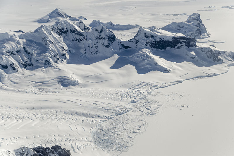 A composite cirque glacier at sea-level near Mt Edgell, SW Wordie Bay. | 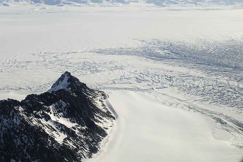 Highly disturbed and fractured ice as a fast-flowing ice stream from the ice sheet terminates in George VI Sound. |
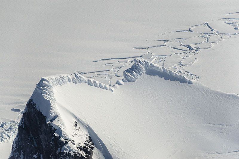 Fluted snow, calved by the wind, on a narrow ridge near Mt. Dixey, with fractured George VI Ice Shelf in the background. | 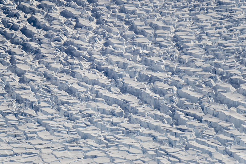 Intersecting crevasses create a blocky appearance to a fast-flowing ice stream north of Mt. Dixey. | 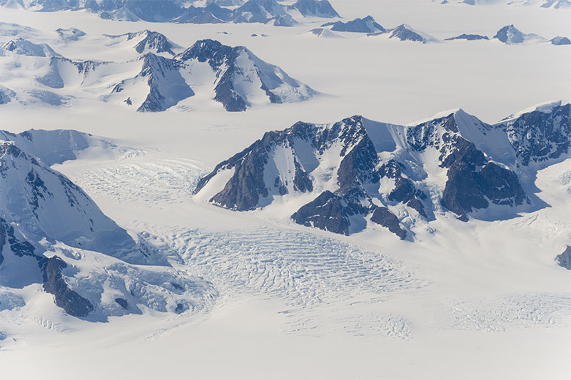 Two icefalls with heavy crevassing in a small tributary of George VI Ice Shelf. | 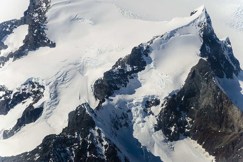 Alpine landscape in eastern Palmer Land, with a small avalanche-prone hanging glacier below the peak on the right. |
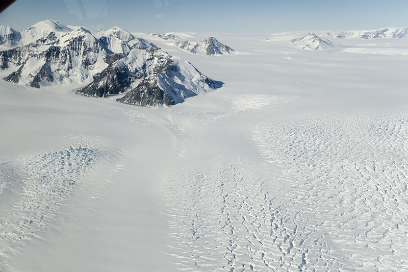 Two flow-units of the heavily crevassed Chapman Glacier, a moderately sized ice stream from the Antarctic Peninsula Ice Sheet. | 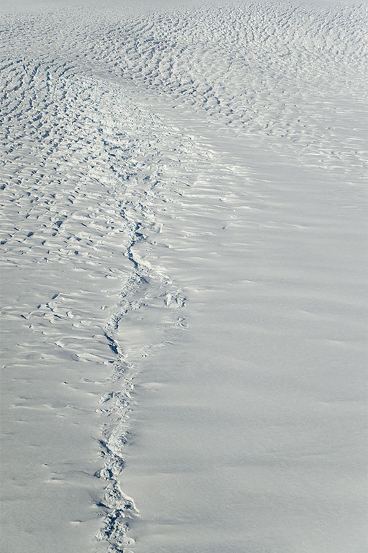 An unusual "suture" in Chapman Glacier, probably representing a zone of shear between two flow-units. | 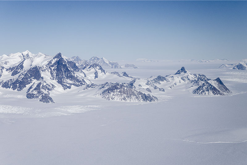 Moore Point, a promontory of alpine scenery in Palmer Land, which projects into George VI Ice Shelf. | 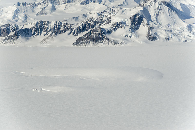 An ice rise in George VI Ice Shelf, just offshore from Palmer Land between Chapman and Millet glaciers. |
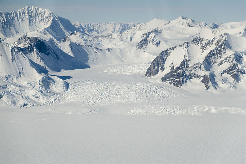 Two flow-units of the heavily crevassed Chapman Glacier, a moderately sized ice stream from the Antarctic Peninsula Ice Sheet. | 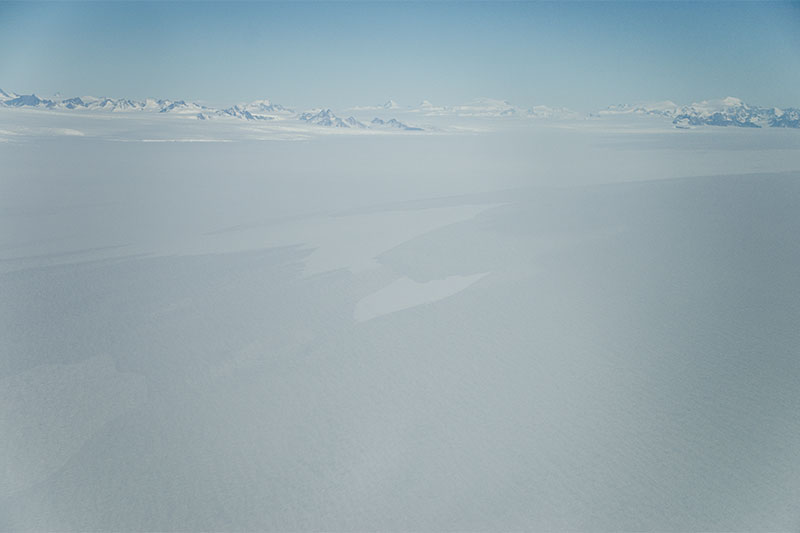 The vast expanse of Millet Glacier, an outlet ice stream from the Antarctic Peninsula Ice Sheet, as it flows into the ice shelf. The glacier is about 15 km wide. | | |
| All these were taken in November-December 2012 (MH). |